Utah Untamed
Adventures
Hikes, scenic drives, parks, and the trail of the week.
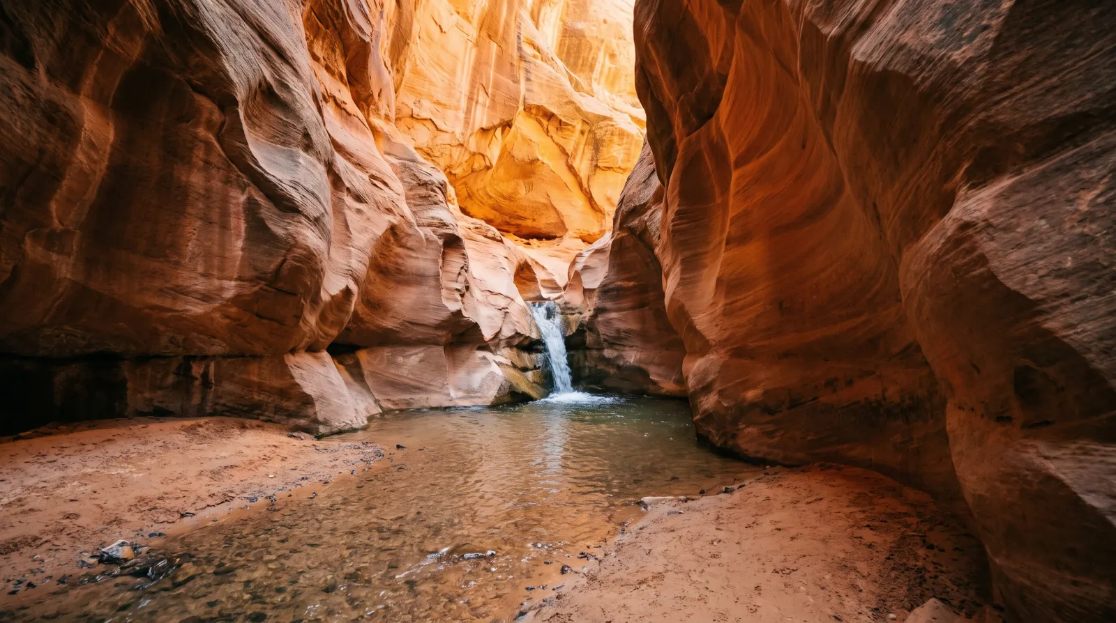
You Need a Permit to Hike Kanarraville Falls — Here's Everything to Know Before You Go
Kanarraville Falls is a year-round slot-canyon wade to a 20-foot waterfall south of Cedar City. The town requires an online permit, sells out weeks ahead in summer, and flew the trail's new staircase in by helicopter.
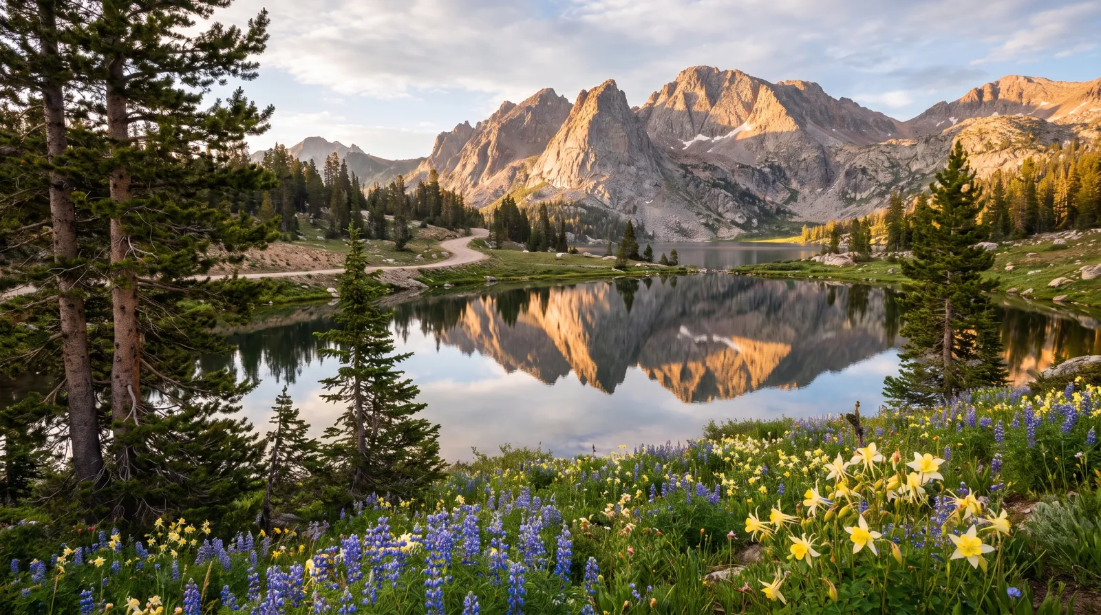
The Mirror Lake Highway: Utah's Highest Paved Escape From the Summer Heat
State Route 150 climbs out of Kamas to Bald Mountain Pass, 10,715 feet, the highest paved road in Utah. The air runs 25 to 30 degrees cooler than the valley, and it opens onto a glacier-carved basin holding more than a thousand alpine lakes.
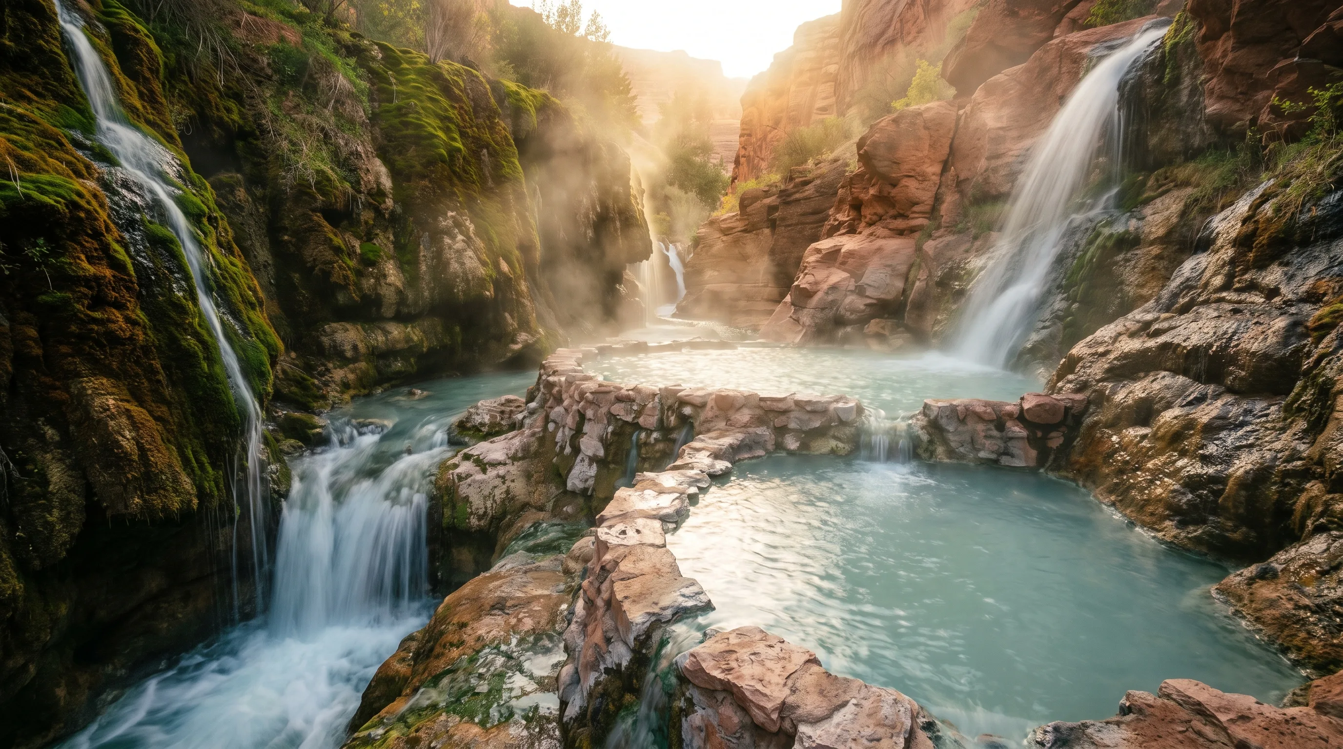
The Best Hot Springs in Utah: 6 Soaks, From a Hike-In Canyon Pool to a 65-Foot Geothermal Dome
The best hot springs in Utah are Fifth Water for the hike, Mystic in Monroe for the vintage-bathtub experience, Crystal in Honeyville for the mineral water and the kids, Homestead Crater for soaking inside a limestone dome, and Red Hill and Meadow for free, no-frills soaks.
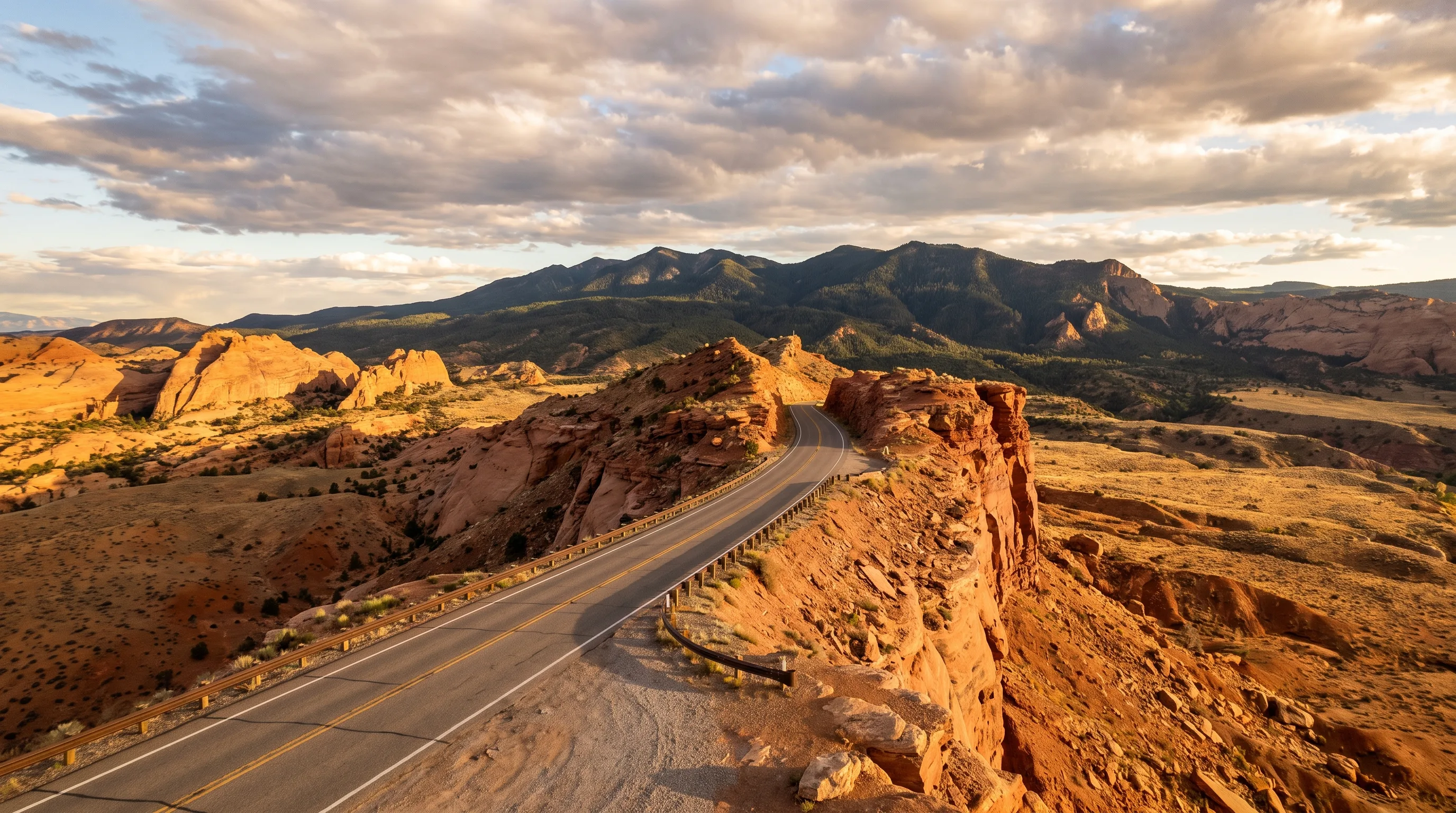
The 4 Best Scenic Drives in Utah — and Exactly What Each One Is For
Mirror Lake Highway, the Alpine Loop, the Nebo Loop, and Scenic Byway 12 climb from juniper desert into alpine country, each good for something different. Three spend most of the year buried in snow and only open from late spring into fall — here's what each drive is actually best for.
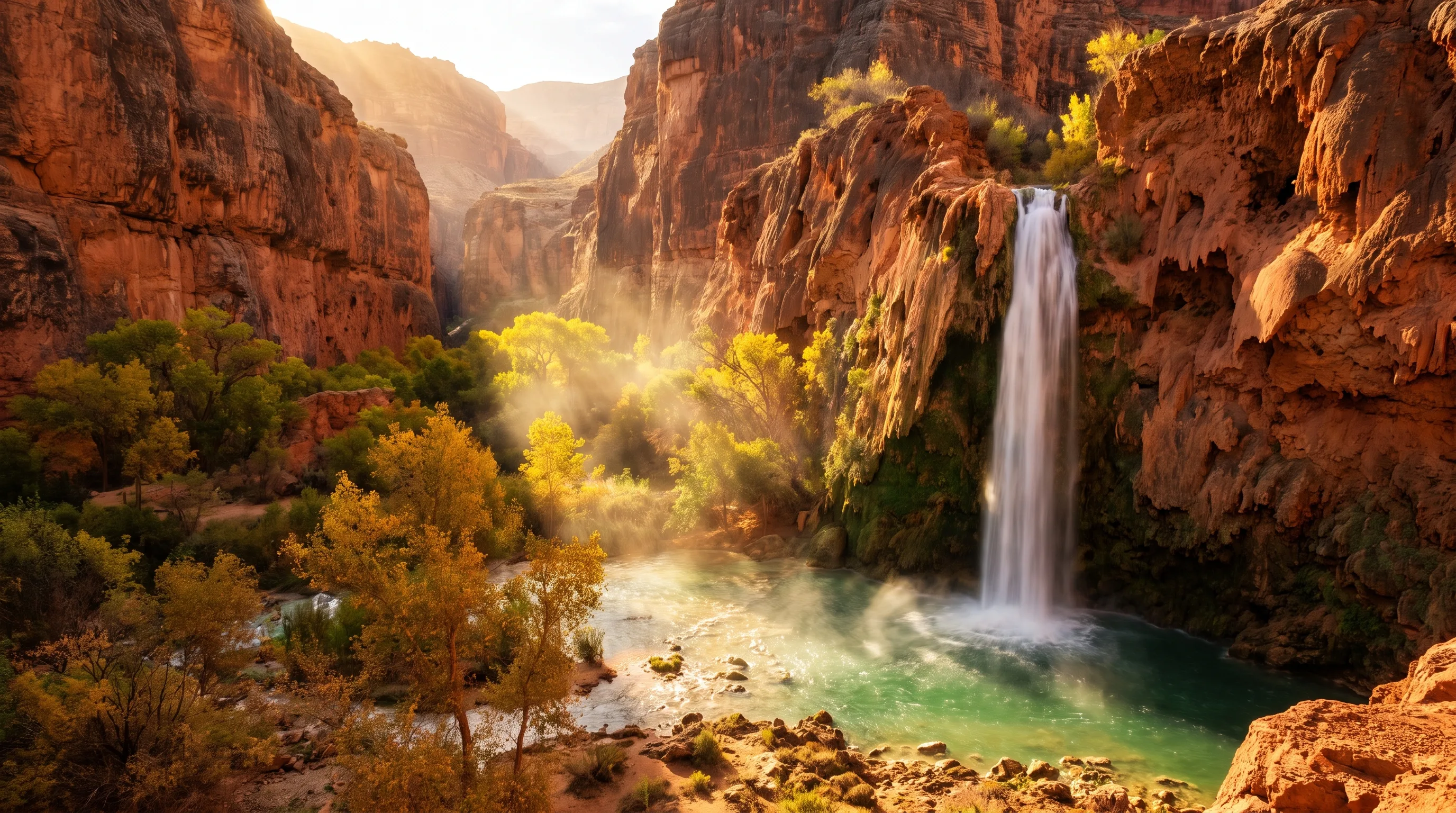
The Best Waterfalls in Utah — and Which Ones Still Run When the Snow Runs Out
The best waterfalls in Utah for a dry summer are the ones that don't depend on snowmelt: Bridal Veil Falls, Lower Calf Creek Falls, and the Tropic Ditch waterfall at Bryce all run strong in July and August because springs, creeks, and an old irrigation ditch feed them, not fast-vanishing snowpack.
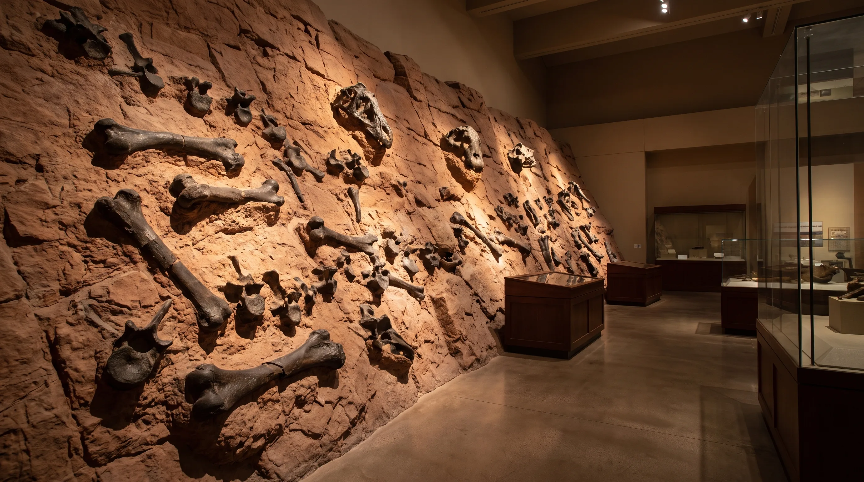
Where to See Real Dinosaurs in Utah: 6 Places You Can Visit
Utah is one of the richest dinosaur grounds on the planet, and a lot of what's here is still in the ground where it died. Six standout places show you the animals three ways: bones locked in rock, footprints pressed into ancient mud, and full skeletons under a roof.
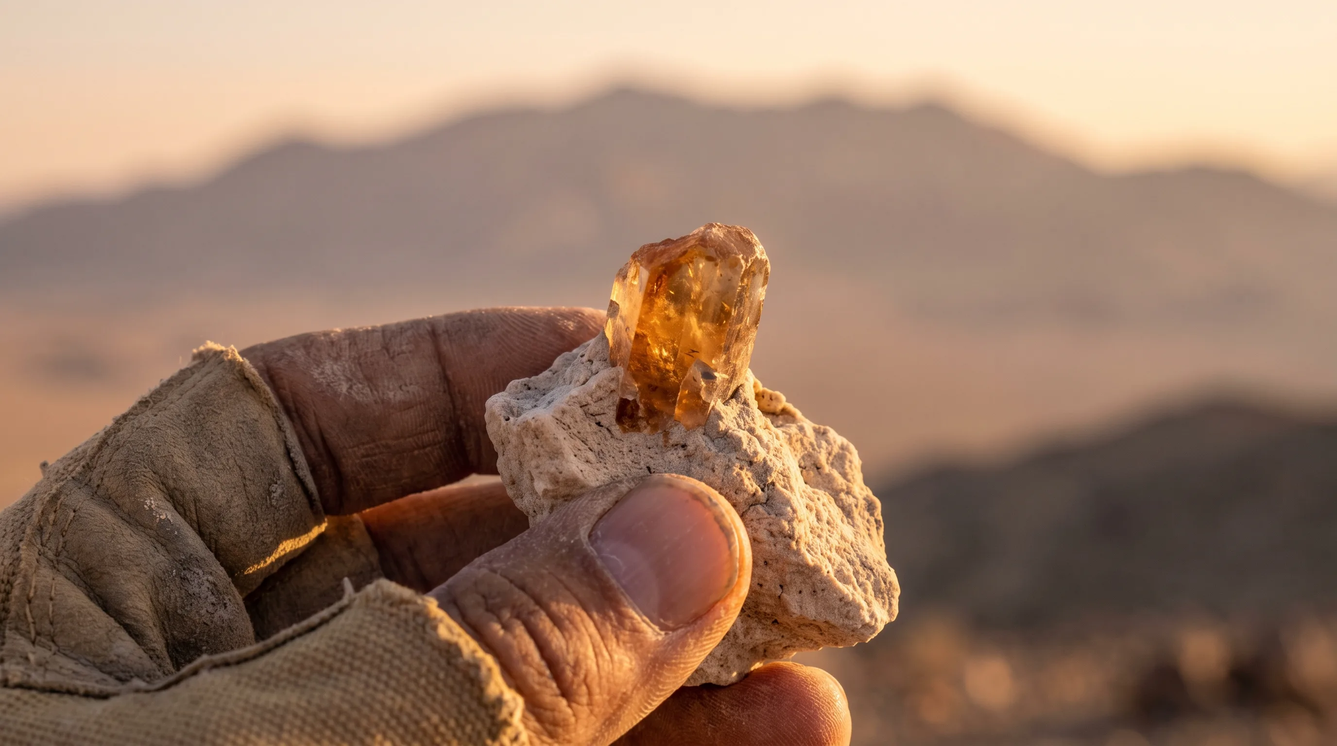
You Can Dig Up Utah's State Gem Yourself, and the Law Says You Get to Keep It
At Topaz Mountain in the West Desert, you can drive onto public land, break open a rock with a hammer, pull out Utah's official state gem, and walk away with it for free. No permit, no fee, no claim to file.
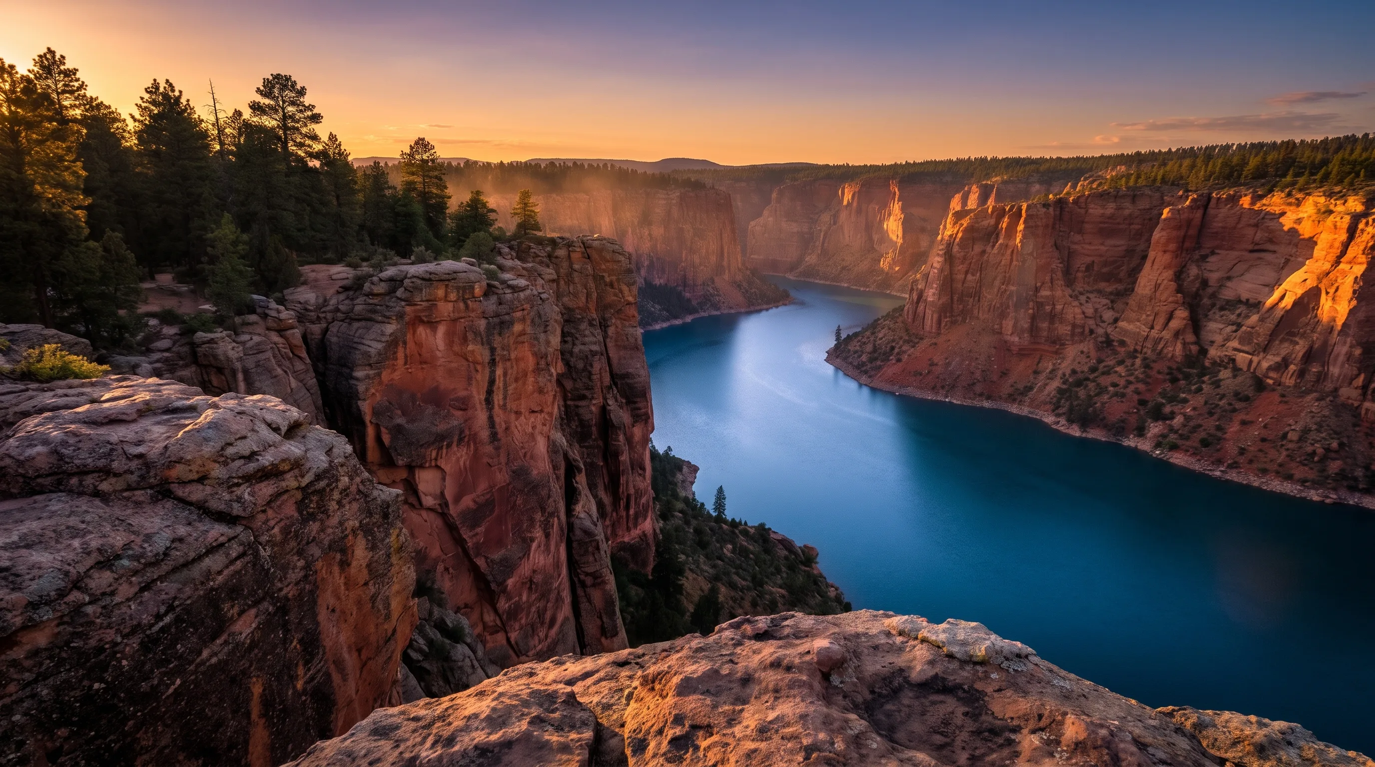
Flaming Gorge: Utah's Coldest, Reddest Reservoir
Flaming Gorge is a 91-mile reservoir on the Green River, wrapped in 1,400-foot red cliffs on the Utah-Wyoming border, and it's one of the best places in the state to be cold in summer. The water sits at 6,040 feet, and the river below the dam runs 40 to 60 degrees year-round.
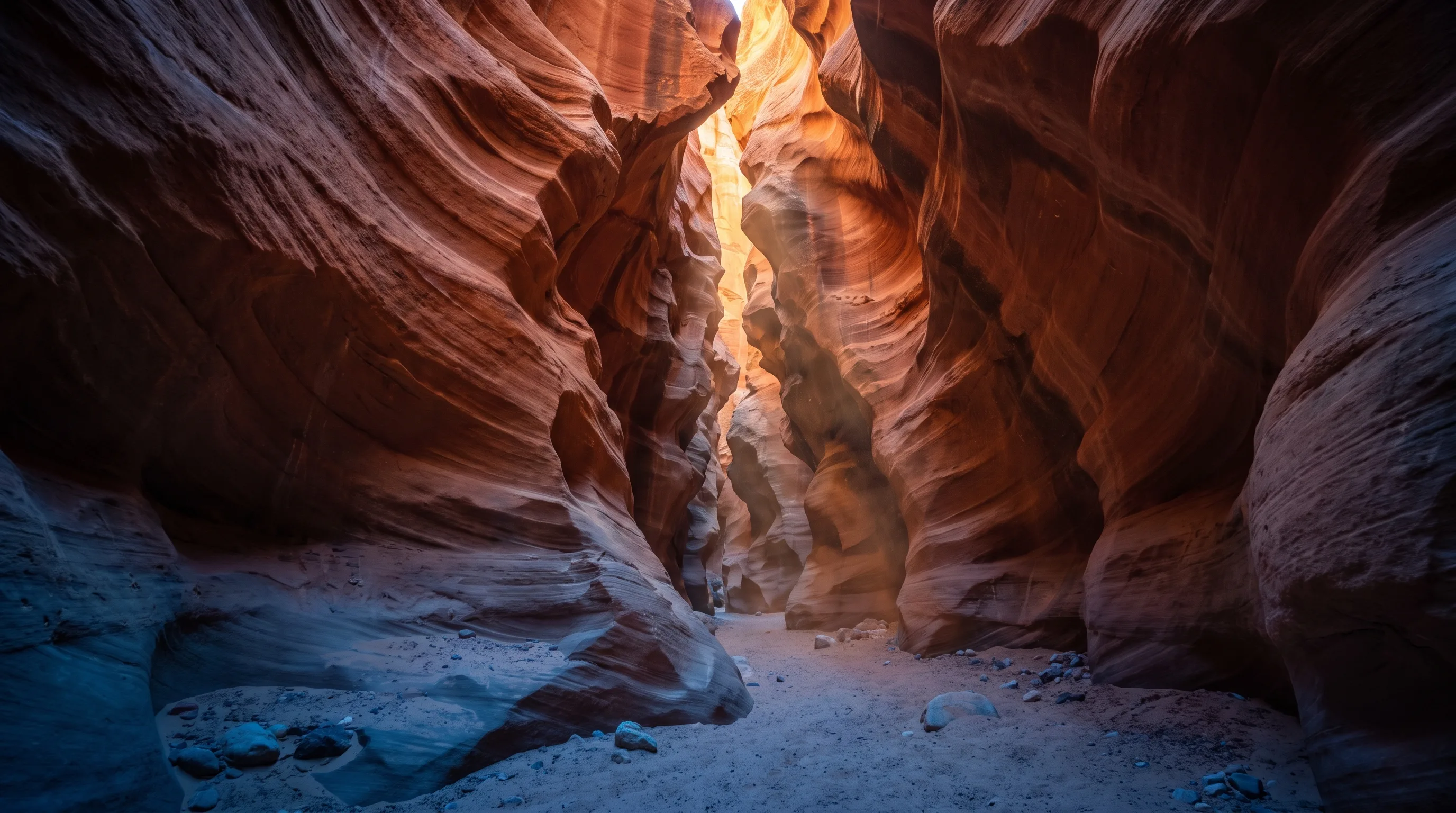
Buckskin Gulch: Inside the Longest Slot Canyon on Earth — and Why You Shouldn't Hike It in Monsoon Season
Buckskin Gulch on the Utah-Arizona border is widely regarded as the longest slot canyon in the world, a continuous crack in the sandstone running 13 to 15 miles with walls up to 500 feet tall. It's also one of the most dangerous hikes in the Southwest during monsoon season.
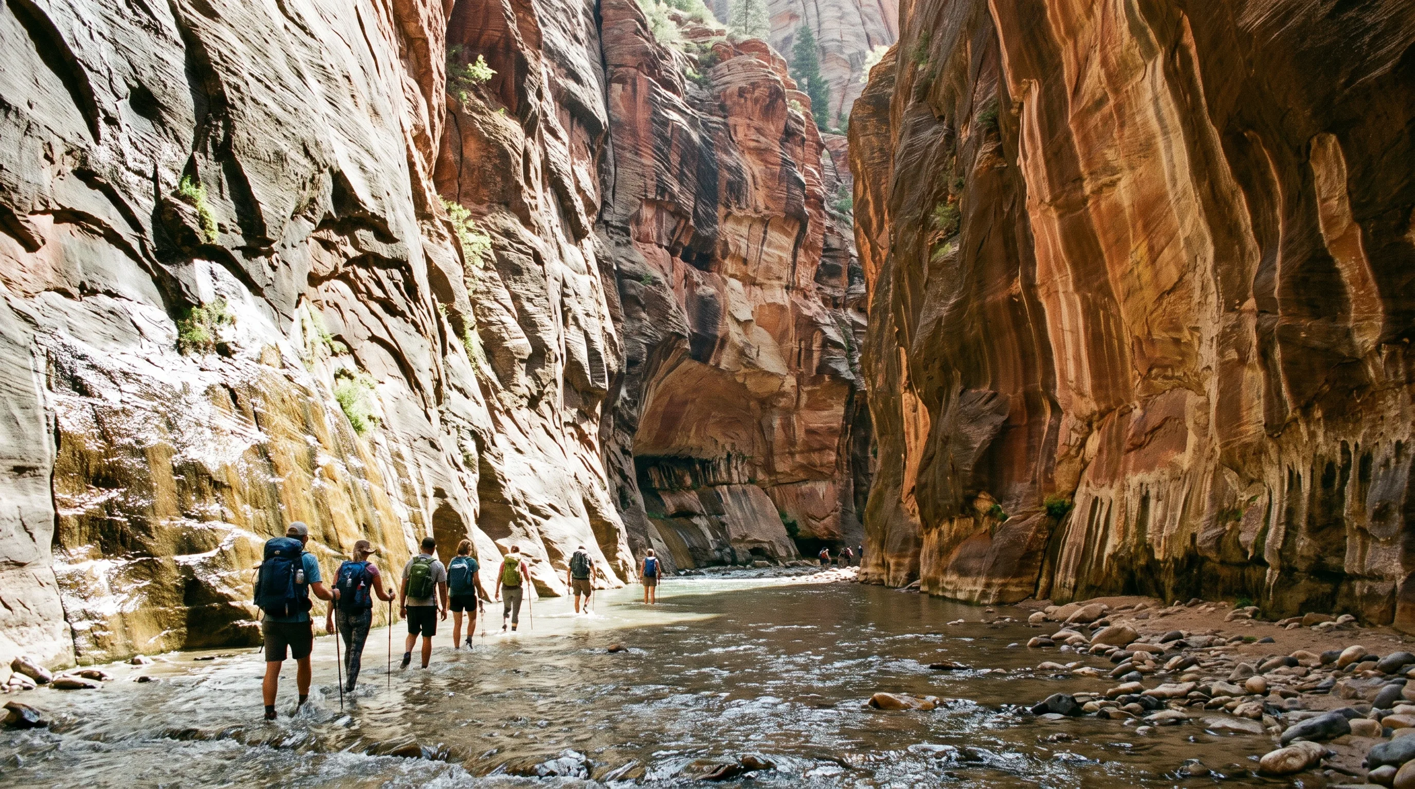
The Zion Narrows: When to Go, How the River Decides, and the Danger That Shares the Season
The best time to hike the Zion Narrows from the bottom up is summer and early fall, when the Virgin River runs low and warm. It's also monsoon season — the window that makes the hike most inviting is the same one that makes it most dangerous.
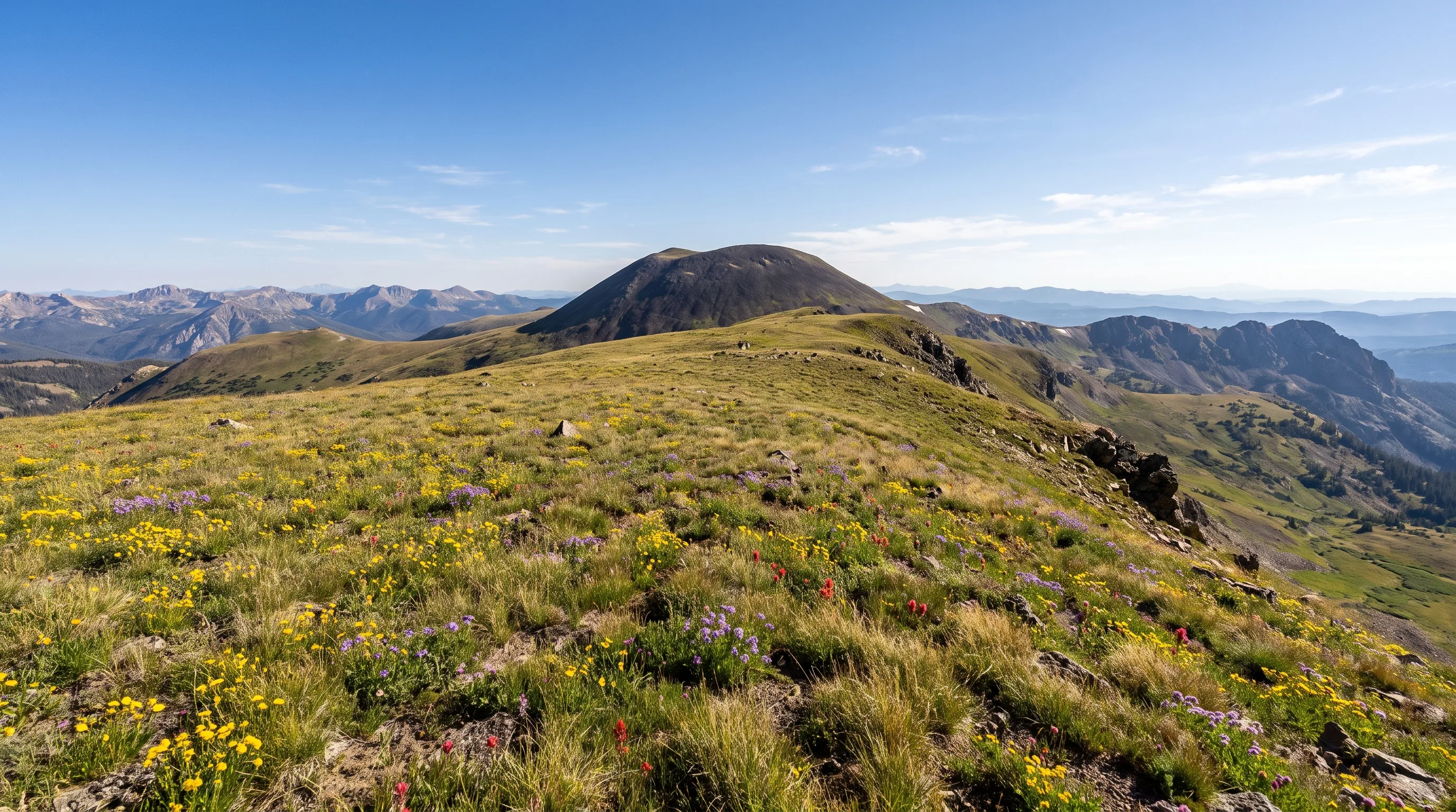
The Tushar Mountains: Utah's Highest Peaks Almost Nobody Knows
The Tushar Mountains are a volcanic range east of Beaver that rise past 12,000 feet — the third-highest range in Utah, and the tallest peaks anywhere in the state south of the Uintas. A million people a year drive past on I-15 and never learn their name.
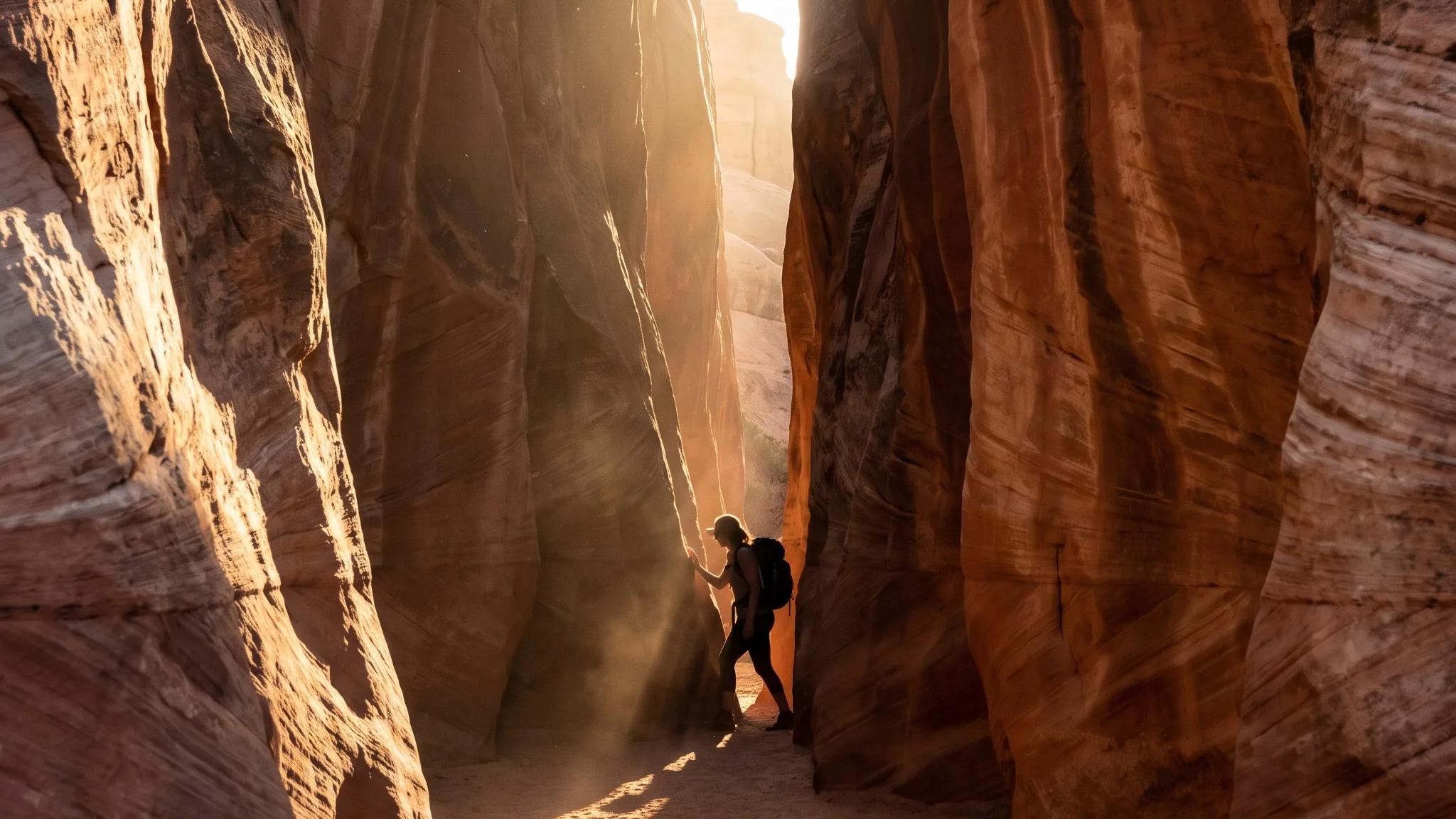
The Quietest Trail in Each of Utah's Mighty Five National Parks
While the crowds line up for Angels Landing and Delicate Arch, there's a trail in each of Utah's Mighty Five where you can walk for an hour and pass almost no one. Here's the best low-crowd hike in Zion, Bryce, Arches, Canyonlands, and Capitol Reef.
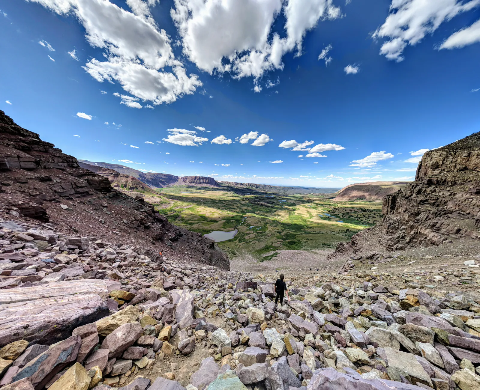
Kings Peak: How to Climb the Highest Mountain in Utah
The highest point in Utah is a 13,528-foot summit buried so deep in the High Uintas that almost everyone climbs it from a trailhead across the line in Wyoming — a 28-to-30-mile round trip most people spread over two or three days.
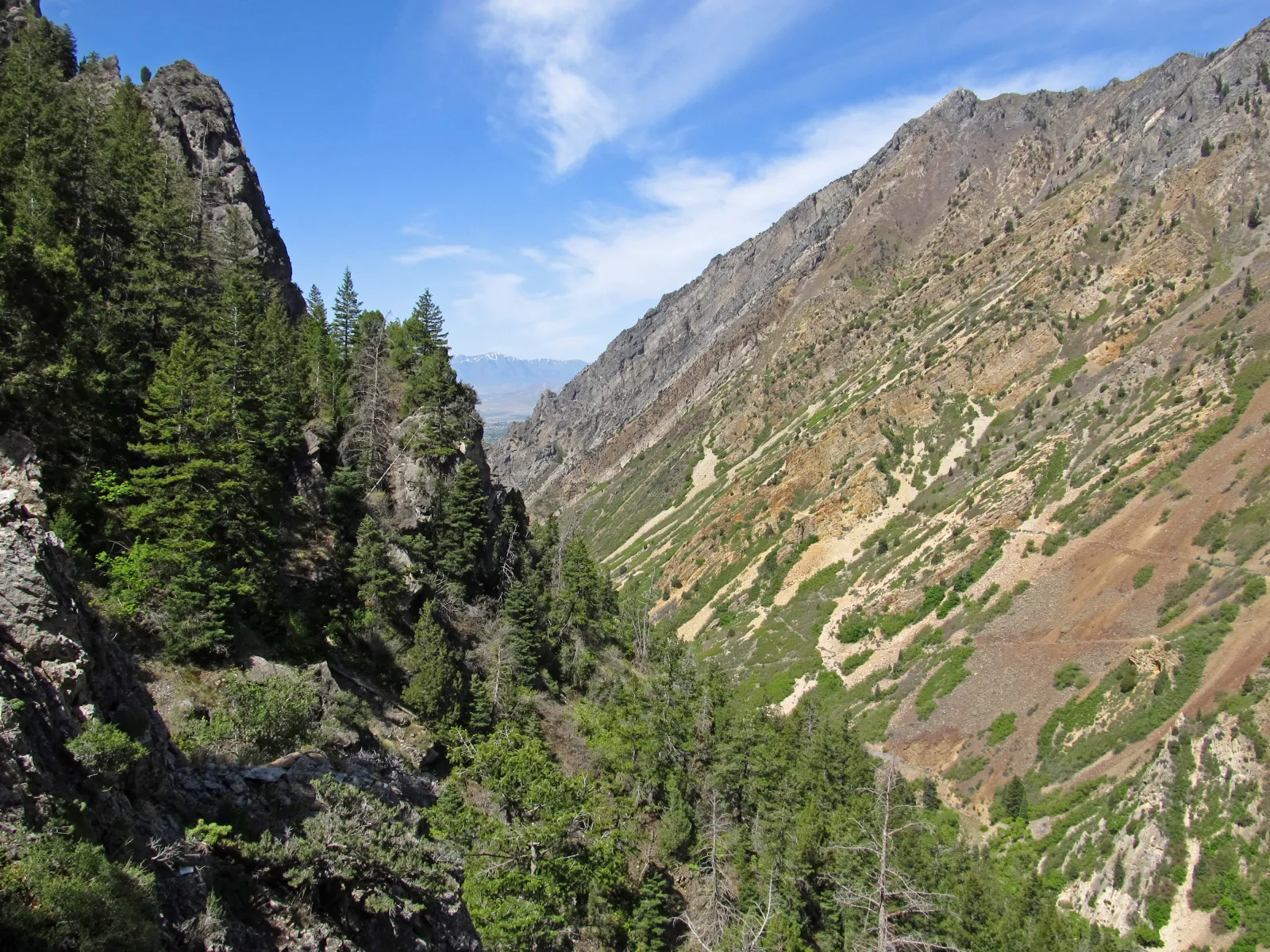
Timpanogos Cave: The 45-Degree World You Have to Climb 1,092 Feet to Reach
There's no shuttle and no elevator. To reach Timpanogos Cave you hike a strenuous 1.5-mile trail up the wall of American Fork Canyon, gaining 1,092 feet — and the reward is a 55-minute tour through three connected caves that hold a steady 45 degrees while the trail outside tops 100.
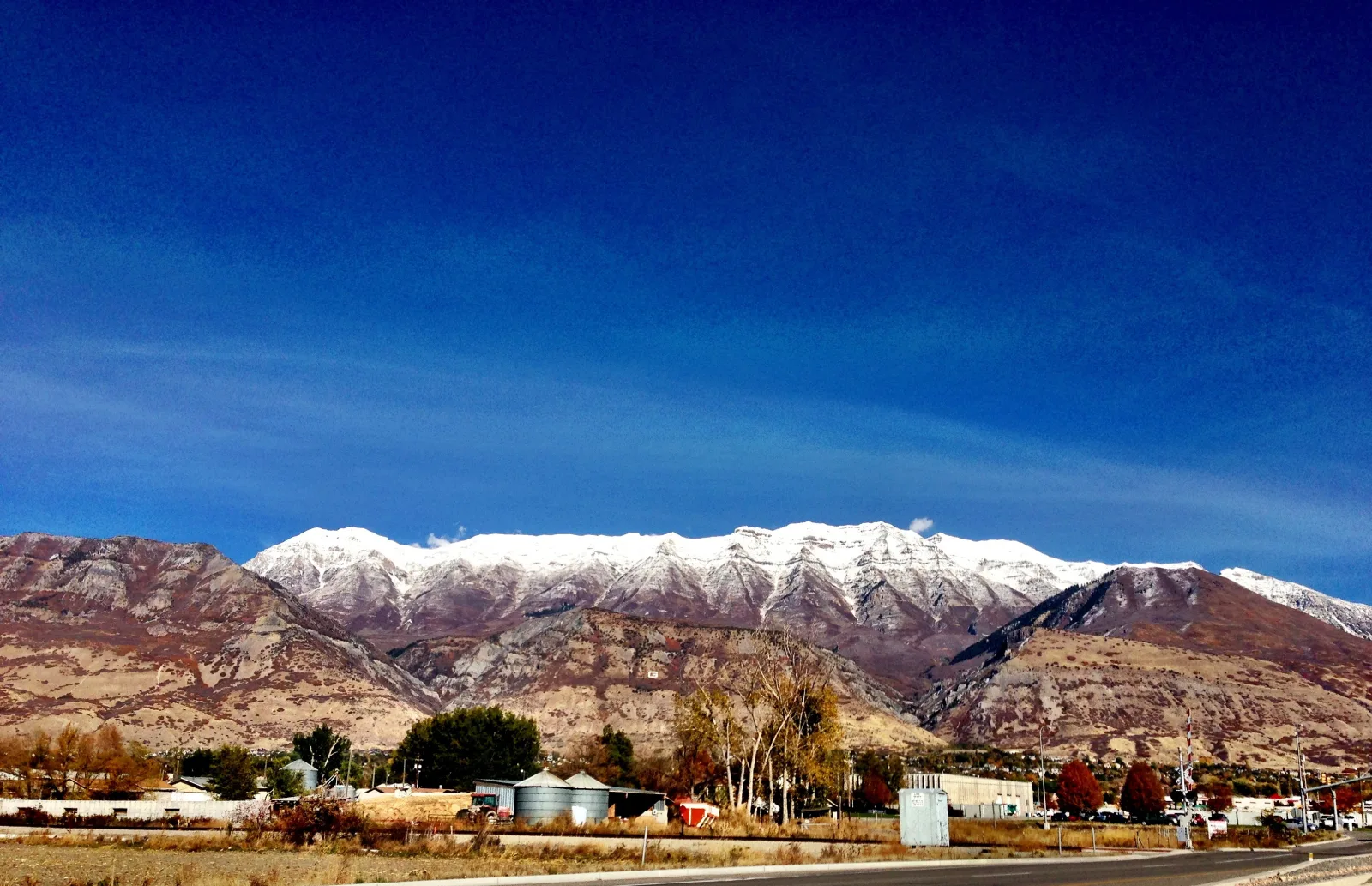
Trail of the Week: Mount Timpanogos
A summer push up the Wasatch's most beloved giant — wildflowers, a hanging glacier, and a summit ridge with views into three counties.
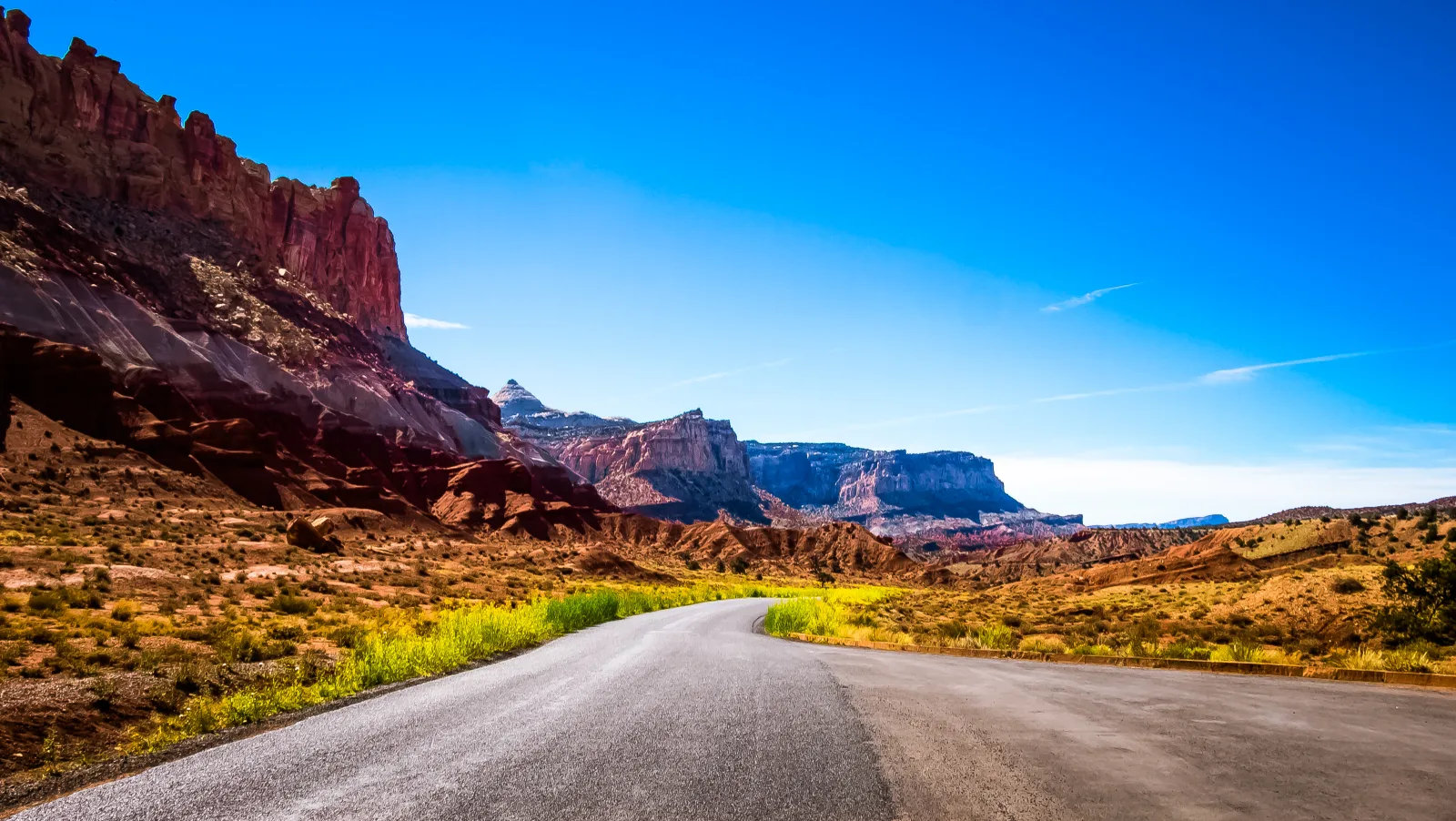
Overlanding the San Rafael Swell
A comprehensive guide to a multi-day, vehicle-supported expedition through some of Utah's most challenging terrain.