The Mirror Lake Highway: Utah's Highest Paved Escape From the Summer Heat
By Utah Untamed Editorial · Published
The Mirror Lake Highway (State Route 150) climbs from Kamas into the Uinta Mountains and crests at Bald Mountain Pass, 10,715 feet, the highest paved road in Utah. The route is normally open from late May into mid-fall, passes dozens of accessible alpine lakes, and requires a Uinta-Wasatch-Cache National Forest recreation pass ($6/$12/$45) to stop and use trailheads or picnic areas along the way.
When the Salt Lake and Provo valleys are baking past 100 degrees, the closest real relief is a 45-minute drive east of Kamas and about 5,000 feet straight up. The Mirror Lake Highway — State Route 150 — climbs out of the foothills into the Uinta Mountains and crests at Bald Mountain Pass, 10,715 feet above sea level, the highest paved road in the state. At the top the air runs 25 to 30 degrees cooler than the valley floor, the lodgepole pine gives way to open alpine tundra, and a basin scraped out by Ice Age glaciers spreads in every direction, dotted with more lakes than most people will see in a lifetime.
What the Mirror Lake Highway actually is
SR-150 is a paved National Forest Scenic Byway that starts in Kamas, in Summit County, and climbs roughly 42 miles northeast through the western Uintas before dropping toward the Wyoming line and running on to Evanston. The Utah stretch is the reason to come. It gains around 4,000 feet from the town of Kamas to Bald Mountain Pass, and it does it through country that looks nothing like the red-rock Utah on the postcards — this is high, green, glacier-country Utah, all granite and conifer and cold water.
The road is seasonal. It’s gated and buried under snow in winter, and it typically opens to through traffic around late May and stays open into mid-fall, until the first heavy storms shut the pass again. The high trailheads hold snow the longest; drifts can linger on north-facing slopes into July even in a normal year.
Why it’s so much cooler up here
Elevation. Air temperature drops roughly three to five degrees Fahrenheit for every 1,000 feet you climb, and Bald Mountain Pass sits more than 6,000 feet above downtown Salt Lake. That’s the whole trick. A 102-degree afternoon in the valley is a 70-something afternoon at the pass, often with a breeze coming off the snowfields that never fully melt on the north walls of the peaks. Bring a layer. It can be shorts-and-sandals warm in the sun and jacket-cold the moment a cloud crosses.
The Uintas: the range that runs the wrong way
Almost every major mountain range in North America runs north to south. The Uintas run east to west, and they’re the highest range in the contiguous United States to do it. They top out at Kings Peak, 13,528 feet, which is also the highest point in Utah. The range was carved hard by glaciers, and that ice left behind the thing the Uintas are famous for: water. There are well over 1,000 natural lakes up here, and more than 500 of them hold trout.
The Mirror Lake Highway is the corridor that makes a slice of that accessible from a car. You don’t have to backpack for two days to stand next to alpine water. You park at a pullout and walk a few hundred feet.
Three of Utah’s working rivers are born on these slopes. The Bear and the Weber — the two largest rivers feeding the Great Salt Lake — both gather their first water in the Uintas. So does the Provo River, whose headwaters sit right along the highway corridor near Trial and Washington lakes. The water you’ll eventually drink in Salt Lake City starts as snowmelt a few feet from this pavement.
The lakes you can reach from the pavement
The highway’s name comes from Mirror Lake, near the top of the drive, sitting at the foot of the jagged wall of Hayden Peak. On a still morning it does exactly what the name promises. But Mirror Lake is one of dozens strung along the corridor. Trial Lake, Washington Lake, Lost Lake, Teapot, Lily, Butterfly — many are a five-minute walk or less from a marked pullout, and several have campgrounds right on the shore. This is the rare place where a family with small kids and a serious backpacker can both find exactly what they came for within a mile of each other.
If you want one short, honest recommendation: the loop and shoreline walks around Trial Lake and Washington Lake give you the classic Uinta postcard — still water, granite, reflected peaks — for almost no effort.
The hike: Bald Mountain
The signature walk on the highway is Bald Mountain, and it’s a rare thing: a genuine 11,000-foot summit that most reasonably fit people can pull off in a morning. The trailhead sits at Bald Mountain Pass, so you start at 10,700-plus feet and only have to climb about 1,180 more. It’s roughly 1.4 miles to the top, a little under three miles round trip, and the summit stands at 11,943 feet. From up there you can see the western Uintas laid out below you, a scatter of lakes catching the light in every direction.
Two honest cautions. First, the altitude is real — if you drove up from sea level that morning, you’ll feel it, so go slow and drink water. Second, this trail is high enough that snow lingers; late July through early October is the reliable window, and earlier hikes can still hit drifts. And because you’re on an exposed ridge above treeline, you do not want to be up there when an afternoon thunderstorm rolls in. Start early. Be off the summit by noon.
Do you need a pass?
Yes, if you stop. Most of the recreation along the highway sits on Uinta-Wasatch-Cache National Forest land and requires a recreation pass to park and use the sites: it runs $6 for three days, $12 for a week, or $45 for the annual. You can drive the road through without one, but the moment you pull into a trailhead, picnic area, or lakeshore, you need it. Passes are sold in Kamas and at the self-serve stations along the road.
After dark
The same elevation that keeps the air cool also strips the haze out of the sky. The Uintas sit far enough from major city light that the Milky Way comes in hard on a moonless night, and the lakes double it. If you’re already up here for the day, staying past sunset is the cheapest upgrade in Utah. The two weeks around a new moon are best; check the phase before you plan a night.
Frequently Asked Questions
Is the Mirror Lake Highway open right now? add
In summer, yes — the road is normally fully open by late May and stays open into mid-fall before winter closes it. Check the Uinta-Wasatch-Cache National Forest road-conditions page before a shoulder-season trip.
How high is Bald Mountain Pass? add
10,715 feet. It's the highest paved pass in Utah.
How long is the drive? add
The Utah scenic byway runs about 42 miles from Kamas to the Wyoming line, roughly 90 minutes of driving without stops.
Do I need a pass? add
Yes, to park and recreate — $6 for three days, $12 for a week, $45 annual. You can drive straight through without one.
How much cooler is it than the valley? add
Roughly 25 to 30 degrees at the pass on a hot summer afternoon. Bring a jacket even in July.
What's the best easy hike? add
Bald Mountain, from Bald Mountain Pass: about 1.4 miles up to an 11,943-foot summit, under three miles round trip. Start early to beat afternoon storms.
Keep Exploring
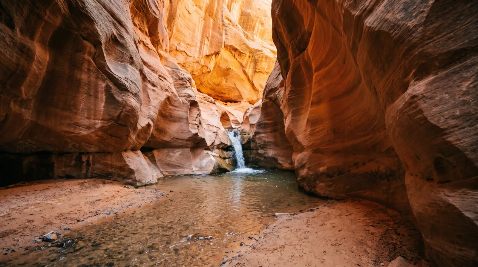
You Need a Permit to Hike Kanarraville Falls — Here's Everything to Know Before You Go
Kanarraville Falls is a year-round slot-canyon wade to a 20-foot waterfall south of Cedar City. The town requires an online permit, sells out weeks ahead in summer, and flew the trail's new staircase in by helicopter.
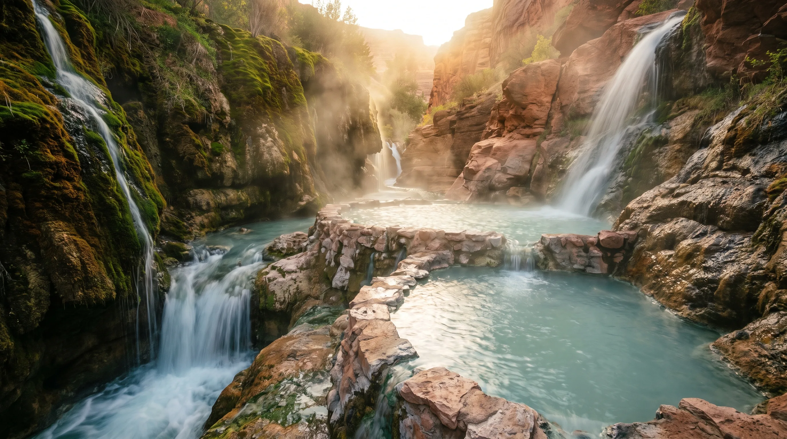
The Best Hot Springs in Utah: 6 Soaks, From a Hike-In Canyon Pool to a 65-Foot Geothermal Dome
The best hot springs in Utah are Fifth Water for the hike, Mystic in Monroe for the vintage-bathtub experience, Crystal in Honeyville for the mineral water and the kids, Homestead Crater for soaking inside a limestone dome, and Red Hill and Meadow for free, no-frills soaks.
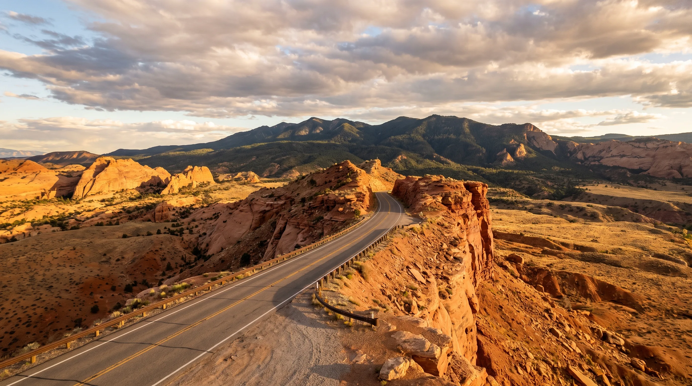
The 4 Best Scenic Drives in Utah — and Exactly What Each One Is For
Mirror Lake Highway, the Alpine Loop, the Nebo Loop, and Scenic Byway 12 climb from juniper desert into alpine country, each good for something different. Three spend most of the year buried in snow and only open from late spring into fall — here's what each drive is actually best for.