The 4 Best Scenic Drives in Utah — and Exactly What Each One Is For
By Utah Untamed Editorial · Published
Utah's four best scenic drives each serve a different trip: Mirror Lake Highway (UT-150) crosses Bald Mountain Pass at over 10,700 feet, the highest paved road in the state; the Alpine Loop is a quick 20-mile mountain drive near the Wasatch Front; the Nebo Loop climbs past the red-rock spires of Devil's Kitchen under the tallest peak in the Wasatch Range; and Scenic Byway 12 is a 123-mile All-American Road from Bryce Canyon country to Capitol Reef. Three of the four are snow-gated and only open roughly late May or June through October or November.
The best scenic drives in Utah are Mirror Lake Highway, the Alpine Loop, the Nebo Loop, and Scenic Byway 12 — four byways that climb from juniper desert into alpine country, each one good for something different. Three of them spend most of the year buried in snow and only open from late spring into fall, which makes summer the window. Here is what each drive is actually best for, how long it takes, what it costs, and what you’ll see.
A scenic drive in Utah is not one thing. One byway is a guardrail-free knife-edge over slickrock. Another is a 20-mile loop you can finish before lunch. A third tops out higher than any other paved road in the state. Pick by what you want out of the afternoon, not by which name you’ve heard.
Mirror Lake Highway (UT-150) — best for high-alpine lakes and the highest pavement in Utah
Mirror Lake Highway is the one to drive when you want to stand at 10,000 feet without hiking for it. State Route 150 runs roughly 42 miles east from Kamas into the western Uinta Mountains, climbing through lodgepole pine to Bald Mountain Pass at over 10,700 feet — the highest paved road in Utah. From the pass, the granite wall of Bald Mountain and Mount Reynolds stands directly across the road, and the lake basins below hold hundreds of fishable, glacier-cut ponds.
The drive is named for Mirror Lake itself, a roadside lake near the high point with a campground, a short loop trail, and a reflection of Bald Mountain that does exactly what the name promises on a still morning. Plan two to three hours round-trip from Kamas, more if you stop to fish or walk the Bald Mountain Pass trail.
This is a fee road. You need a recreation pass to stop at the trailheads, picnic sites, and lakes: $6 for three days, $12 for seven, or $45 for the year, sold at self-pay stations along the route. The highway typically opens with the snowmelt around Memorial Day weekend and closes in early November — check current conditions before a high-elevation drive, since the window shifts with the snow year.
Drive it for: alpine lakes, cool-air escape from a hot valley, easy access to high country, summer fishing.
The Alpine Loop (UT-92) — best for a half-day mountain drive close to the Wasatch Front
The Alpine Loop is the drive for an afternoon when you don’t have a whole day. It’s a paved 20-mile route on State Route 92 that connects American Fork Canyon to Provo Canyon, climbing from about 5,000 feet at the canyon mouth to roughly 8,000 feet at its crest near Aspen Grove, under the north face of 11,749-foot Mount Timpanogos. You can run the core loop in well under two hours, which is what makes it the most accessible mountain drive in the state for anyone near Salt Lake or Provo.
It packs a lot into that short distance. The route passes Timpanogos Cave National Monument, the turnoff to Cascade Springs (a series of terraced spring-fed pools on a boardwalk), and Sundance Mountain Resort, which runs its lift and outdoor theater all summer. In fall this is one of the most photographed color drives in Utah, and the crowds prove it.
Two things to know before you go. The upper loop is narrow and twisting, and vehicles over 30 feet — big RVs, trailers — are not allowed on it. And it’s an American Fork Canyon fee area, so you’ll need the same $6 three-day recreation pass. The loop typically opens in late May and closes in late October.
Drive it for: a quick mountain fix, Cascade Springs, Sundance, the closest real alpine scenery to the Wasatch Front.
The Nebo Loop — best for red-rock spires and the tallest peak in the Wasatch
The Nebo Loop is the underrated one. This 38-mile national scenic byway runs between Payson and Nephi, climbing to a high point of 9,345 feet along the flank of Mount Nebo, which at 11,928 feet is the tallest mountain in the entire Wasatch Range. Most people drive past the Payson exit on I-15 with no idea this is up there.
The signature stop is Devil’s Kitchen, a pocket of red-and-orange rock spires with an observation deck and a short paved trail — locals call it “Little Bryce,” and the comparison earns itself. Add Payson Lakes for a swim or a picnic, and big-window views of Mount Nebo’s three summits for most of the route. Budget about an hour and a half of driving, half a day with stops.
The byway closes from late fall through spring under snow, so it runs on roughly the same summer-only clock as the high Uintas.
Drive it for: beating the Bryce crowds to red-rock spires, the highest summit in the Wasatch, a quiet alternative to the Alpine Loop.
Scenic Byway 12 — best for the all-day epic across red rock and alpine forest
If you only drive one Utah byway in your life, this is the one. Scenic Byway 12 is a 123-mile All-American Road — one of only a few dozen roads in the country to hold that top federal designation — running from US-89 south of Panguitch to Torrey, five miles from Capitol Reef. It is not a quick loop. Give it a full day, and stay overnight on one end if you can.
The route is a tour of the state’s geology in a single drive. It clips Bryce Canyon and crosses Grand Staircase–Escalante National Monument, drops past the trailhead for Lower Calf Creek Falls, and then climbs The Hogback above Boulder: a narrow ridge of pavement with steep drop-offs on both sides and no guardrail, one of the most talked-about miles of road in the West. From there it climbs the 30-mile Boulder Mountain stretch over the Aquarius Plateau to roughly 9,600 feet, trading slickrock for aspen and pine before dropping into Torrey.
Unlike the three alpine drives above, the core of Byway 12 stays open year-round, though the Boulder Mountain section can get snow and ice in deep winter. Summer is still the best time to drive it, when Calf Creek is swimmable and the side roads to Kodachrome Basin and the Burr Trail are dry.
Drive it for: the full red-rock-to-alpine epic, Calf Creek Falls, the Hogback, a Bryce-to-Capitol-Reef trip done the scenic way.
Which Utah scenic drive should you pick?
Short on time and near the Wasatch Front, take the Alpine Loop. Chasing cool air and alpine lakes, take Mirror Lake Highway. Want red-rock spires without the Bryce crowds, take the Nebo Loop. Have a whole day and want the drive of a lifetime, take Scenic Byway 12. Three of the four are snow-gated and open through fall, so the calendar is as much a deciding factor as the scenery — check current UDOT conditions before any high-elevation drive.
Frequently Asked Questions
What is the highest paved road in Utah? add
Mirror Lake Highway (UT-150), which crosses Bald Mountain Pass at over 10,700 feet in the Uinta Mountains.
How long does the Alpine Loop take to drive? add
The core 20-mile loop takes under two hours of driving, longer with stops at Cascade Springs, Timpanogos Cave, or Sundance. Vehicles over 30 feet are not allowed on the upper loop.
Do you have to pay to drive these roads? add
Mirror Lake Highway and the Alpine Loop are both Forest Service fee areas — you need a recreation pass to stop and use the facilities. The Nebo Loop and Scenic Byway 12 have no driving fee.
What is the most scenic drive in Utah? add
Scenic Byway 12 is the most decorated, holding a federal All-American Road designation for its 123-mile run from near Bryce Canyon to Capitol Reef. For high-alpine scenery specifically, Mirror Lake Highway is the standout.
Keep Exploring
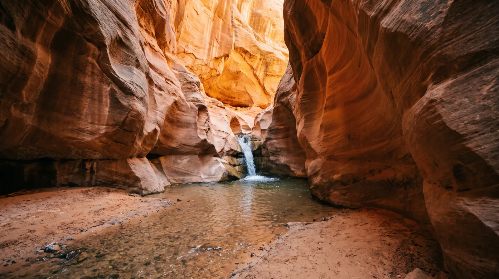
You Need a Permit to Hike Kanarraville Falls — Here's Everything to Know Before You Go
Kanarraville Falls is a year-round slot-canyon wade to a 20-foot waterfall south of Cedar City. The town requires an online permit, sells out weeks ahead in summer, and flew the trail's new staircase in by helicopter.
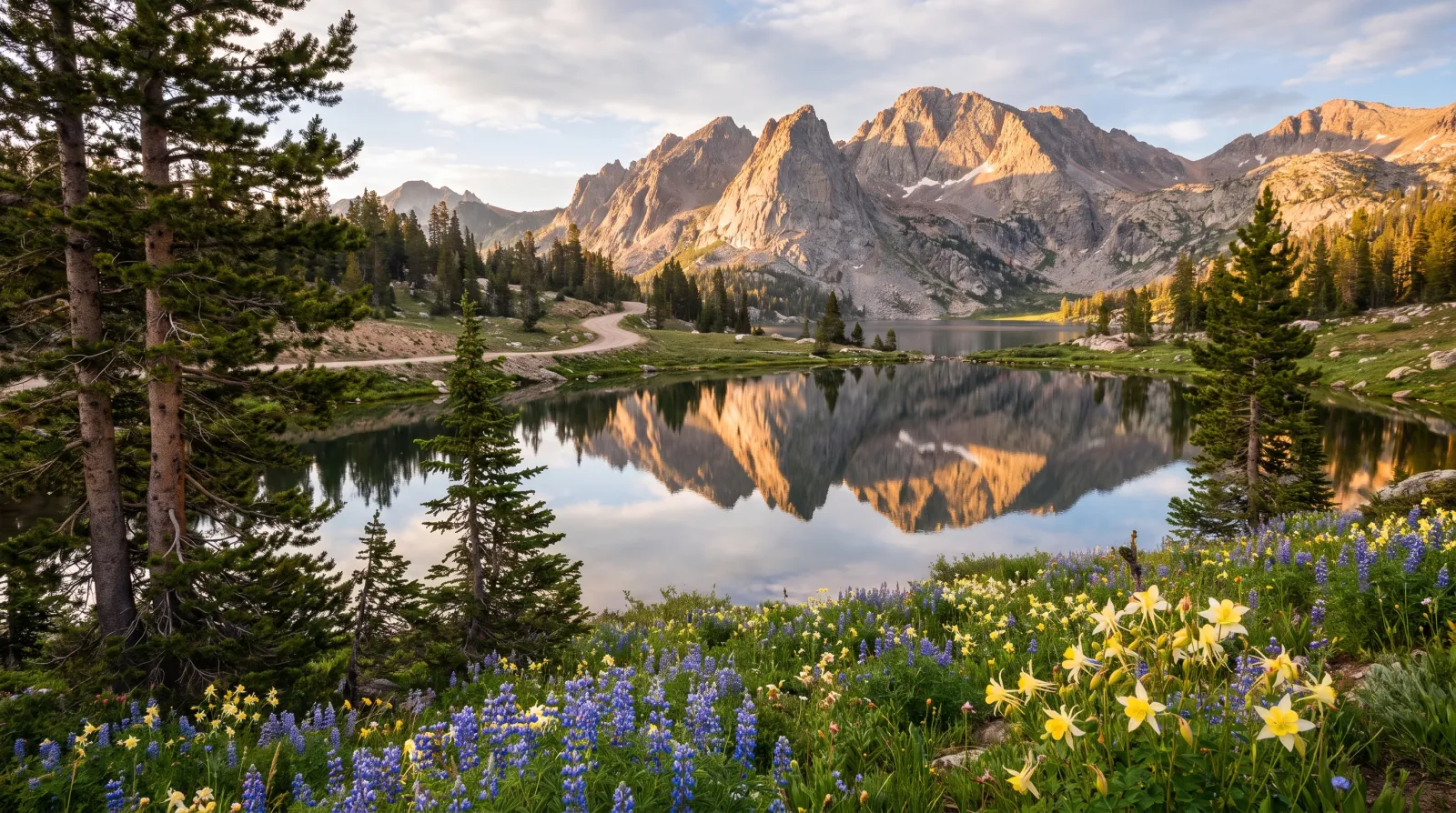
The Mirror Lake Highway: Utah's Highest Paved Escape From the Summer Heat
State Route 150 climbs out of Kamas to Bald Mountain Pass, 10,715 feet, the highest paved road in Utah. The air runs 25 to 30 degrees cooler than the valley, and it opens onto a glacier-carved basin holding more than a thousand alpine lakes.
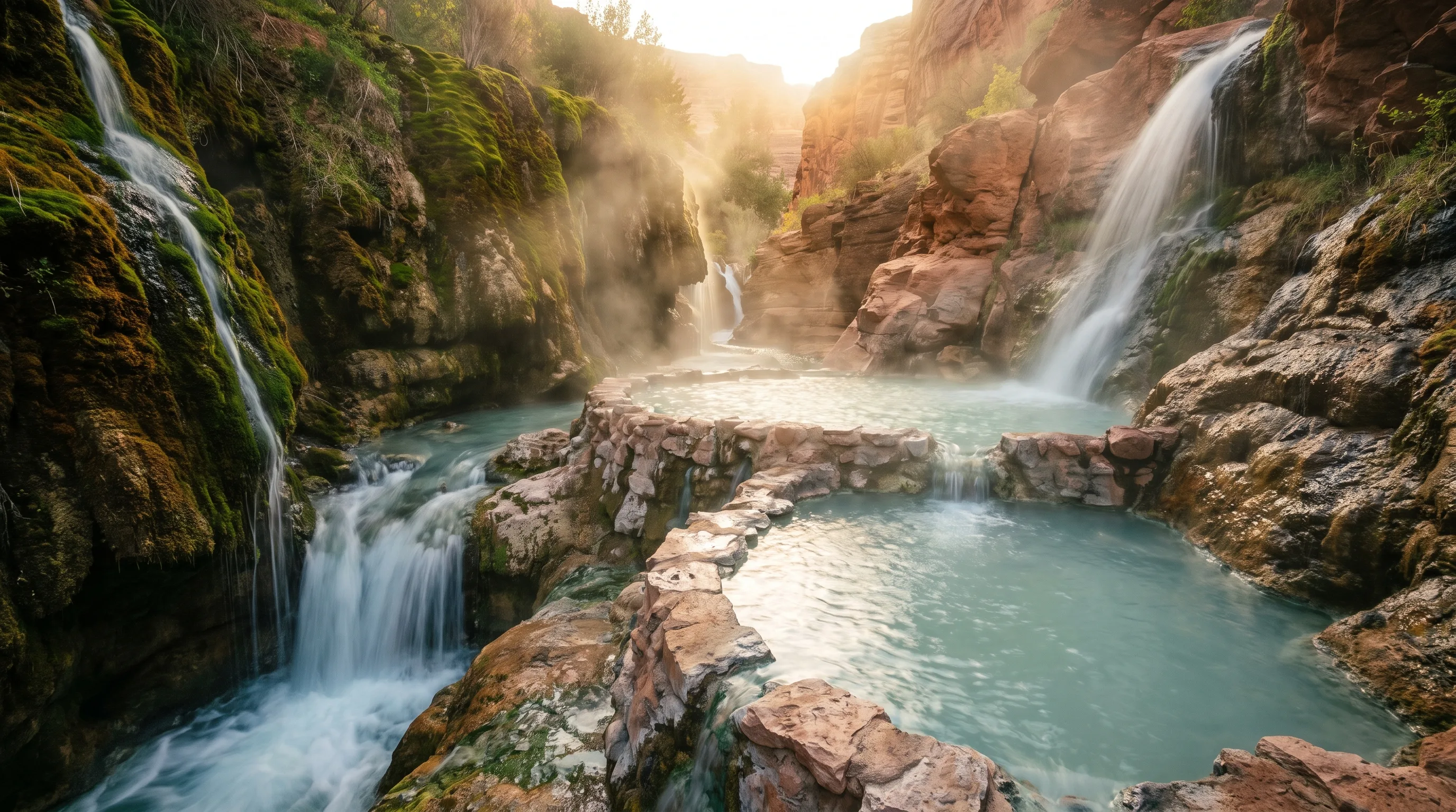
The Best Hot Springs in Utah: 6 Soaks, From a Hike-In Canyon Pool to a 65-Foot Geothermal Dome
The best hot springs in Utah are Fifth Water for the hike, Mystic in Monroe for the vintage-bathtub experience, Crystal in Honeyville for the mineral water and the kids, Homestead Crater for soaking inside a limestone dome, and Red Hill and Meadow for free, no-frills soaks.