The Zion Narrows: When to Go, How the River Decides, and the Danger That Shares the Season
By Utah Untamed Editorial · Published
The Zion Narrows is a gorge where the Virgin River squeezes to 20 to 30 feet wide between walls roughly 1,000 feet tall, hiked bottom-up from the Temple of Sinawava with no permit required. Summer offers the lowest, warmest water, but it overlaps with monsoon season (roughly mid-July through early September), when flash floods can rise in seconds from storms miles away. The park closes the route above 150 cubic feet per second and the moment a Flash Flood Warning is issued.
The best time to hike the Zion Narrows from the bottom up is summer and early fall. The spring snowmelt that pushes the Virgin River too high has dropped off, the water is as warm as it gets, and on a typical summer morning the river is running low enough that the National Park Service leaves the route open. That’s the good news. The complication is that mid-July also starts monsoon season, when a thunderstorm you can’t even see can send a flash flood down the canyon. Both things are true at once. The Narrows in summer is the hike at its most inviting and its most unforgiving, and knowing the difference is the whole game.
Here’s what the hike actually is, why summer is the season, and the rules that decide — sometimes hour by hour — whether you get to walk it.
There is no trail. The river is the trail.
The Narrows is the narrowest stretch of Zion Canyon, a gorge where the walls climb around 1,000 feet and the Virgin River squeezes down to 20 to 30 feet wide. There’s no bank to walk on for most of it. You walk in the river, upstream, over rounded rocks that a park ranger describes as being about as stable as wet bowling balls. That is not a figure of speech people use to sound tough. It’s the single most accurate sentence written about this hike.
You start at the Temple of Sinawava, the last stop on the Zion Canyon shuttle. The first mile is the paved, flat Riverside Walk, and plenty of visitors go that far, look at where the canyon pinches shut, and turn around. To see the Narrows itself you step off the pavement and into the water. From there it’s your call how far you go. Wade upstream for an hour and you’ve had a real taste of it. Push all the way to Big Spring and back and you’ve done a strenuous ten-mile round trip that eats a full day, no permit required.
Bottom-up or top-down: two very different commitments
Almost everyone does the bottom-up day hike, and for good reason — it needs no permit, no shuttle logistics of its own, and no overnight gear. You walk in as far as you want and walk back out the way you came. Big Spring is the turnaround point for day hikers; past it is off-limits without a through-hike permit.
The other version is the 16-mile top-down through-hike from Chamberlain’s Ranch, and it’s a different animal. It requires a wilderness permit, and you arrange your own ride to a remote trailhead outside the park. Done in a long day or split into an overnight, it takes you through the entire canyon in one direction. It’s the bigger trip and the one worth planning weeks ahead. For a first visit, the bottom-up route delivers the most dramatic, narrowest scenery — the Wall Street section, past the mouth of Orderville Canyon — for a fraction of the logistics.
Why summer, and not spring
Most people hike the Narrows in summer and early fall because that’s when the water is warmest and lowest. Spring is the opposite. Snowmelt off the high country pours into the Virgin River and routinely pushes it over the closure threshold, sometimes for months at a stretch in a heavy snow year, though some low-snow years see no spring closure at all. Winter means frigid water and short days, the domain of drysuits and dedicated regulars. Summer is the forgiving window.
The tradeoff for that warm, low water is heat and weather. It can be over 100 degrees at the trailhead while the canyon floor stays markedly cooler, cool enough that hypothermia is a real risk if you’re wet in cotton. And summer is when the sky turns dangerous in the afternoons.
The number that decides your day: 150 CFS
The Park Service manages the Narrows by the river’s flow rate, measured in cubic feet per second on a USGS gauge you can check before you leave. The scale is simple and worth memorizing.
Below 70 CFS, the walking is moderate — knee-deep crossings, the occasional pool up to your waist, slow going on the slick bottom but manageable. Above 70, pushing upstream against the current gets genuinely hard; crossings hit mid-thigh, pools can reach your chest. At over 150 CFS, the Narrows closes to everyone. No exceptions, no judgment calls at the trailhead. In summer the river is usually well under that line, but a single overnight storm upstream can move it, so the flow you check the night before is not a guarantee for the morning.
The danger that shares the season: flash floods
This is the part that matters most, so read it twice. The Narrows floods because the land around it is mostly bare rock that shrugs off rain instead of soaking it up. When a storm hits the high country, that runoff funnels into the canyon and the water rises almost instantly — seconds to minutes, not hours. A flash flood carries boulders, whole trees, and enough debris that swimming out is not an option. Hikers have been stranded, injured, and killed by flash floods in Zion’s slot canyons over the years.
The cruelest detail: a flash flood can arrive under a blue sky directly overhead. The storm that causes it may be miles away, dropping its rain on a drainage you can’t see from inside the canyon. That’s why the forecast you trust is not “is it raining on me” but the National Weather Service flash flood potential rating for the day. The Park Service closes the Narrows the moment a Flash Flood Warning is issued, and keeps it closed for two hours after the warning lifts. Monsoon season runs from about mid-July into early September, which means for most of the prime hiking window, checking the flash flood forecast is not optional. Stop at a visitor center, ask a ranger, and if the potential is high, choose a different day. The canyon will still be there.
Don’t drink the river
One more thing that surprises people. The Virgin River carries toxic cyanobacteria — park biologists have repeatedly found it in the water here, including the nerve toxin anatoxin-a. There is no backcountry filter or purification method that makes this water safe to drink; treatment removes germs, not these toxins. So you never drink from the river or its pools. If you’re doing the long through-hike and need water, collect it from springs and treat it, and keep it away from your mouth otherwise. Keep dogs out of the water entirely — they’re far more likely to lick it off their fur or drink it, and they’re far more vulnerable if they do. Getting your feet and legs wet on the day hike is fine. Putting your head under is not.
What to wear, and what not to
Footwear decides how your day goes. Closed-toe shoes and a sturdy walking stick are the baseline — the stick is a third point of contact that keeps you upright on the invisible, uneven bottom. Sandals, Crocs, and bare feet are how people leave the canyon with twisted ankles and split toes. Outfitters in Springdale rent purpose-built canyoneering boots, neoprene socks, and drysticks by the day, and in cold water they’re worth every dollar.
For clothing, skip cotton and wear quick-drying layers. The canyon walls hold the cold, the water is colder than the air, and a wet cotton shirt in a shaded gorge is a hypothermia setup even in summer. Pack more layers than the trailhead temperature suggests you’ll need.
The short version
Come in summer, hike bottom-up from the Temple of Sinawava, check the USGS flow the night before and the flash flood forecast the morning of, wear closed-toe shoes and carry a stick, don’t drink the water, and turn around whenever the sky, the current, or a ranger tells you to. Do that and the Narrows gives you the best few hours of walking in Utah — a river road between thousand-foot walls that no photograph quite prepares you for. Ignore the weather and it will remind you, fast, why the rules exist.
Frequently Asked Questions
When is the best time to hike the Zion Narrows? add
Summer and early fall, when the water is lowest and warmest. Spring snowmelt can push the river over the closure threshold for weeks at a time; winter means frigid water and short days.
What flow closes the Zion Narrows? add
The park closes the Narrows to everyone once the Virgin River exceeds 150 cubic feet per second on the USGS gauge. Below 70 CFS, walking is moderate; above 70, crossings get significantly harder.
Do you need a permit to hike the Zion Narrows? add
Not for the bottom-up day hike from the Temple of Sinawava. The 16-mile top-down through-hike from Chamberlain's Ranch requires a wilderness permit and your own transportation to the trailhead.
Can you drink the water in the Zion Narrows? add
No. The Virgin River carries toxic cyanobacteria, including the nerve toxin anatoxin-a, which standard backcountry filters do not remove. Never drink from the river, and keep dogs out of the water entirely.
Keep Exploring
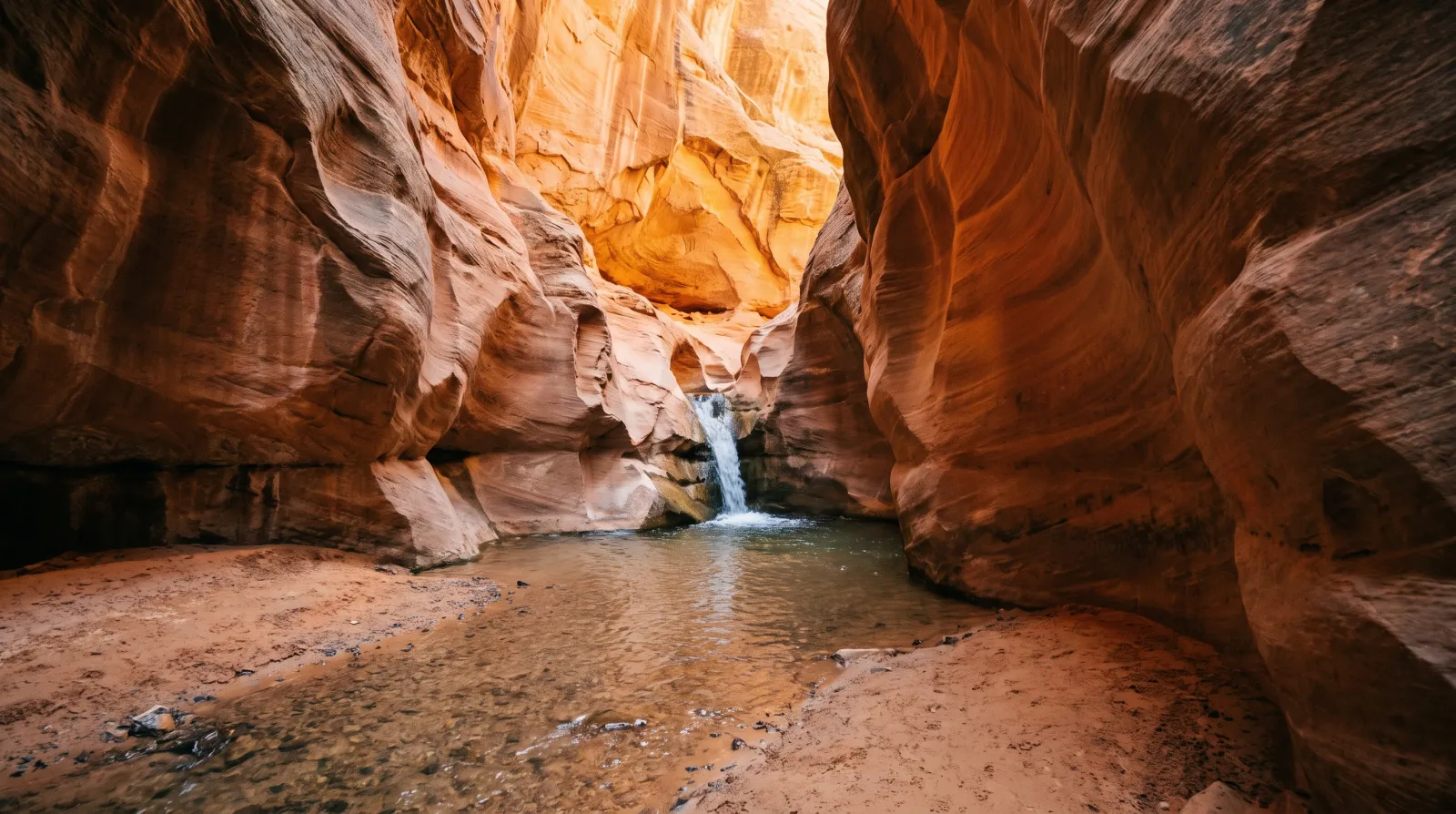
You Need a Permit to Hike Kanarraville Falls — Here's Everything to Know Before You Go
Kanarraville Falls is a year-round slot-canyon wade to a 20-foot waterfall south of Cedar City. The town requires an online permit, sells out weeks ahead in summer, and flew the trail's new staircase in by helicopter.
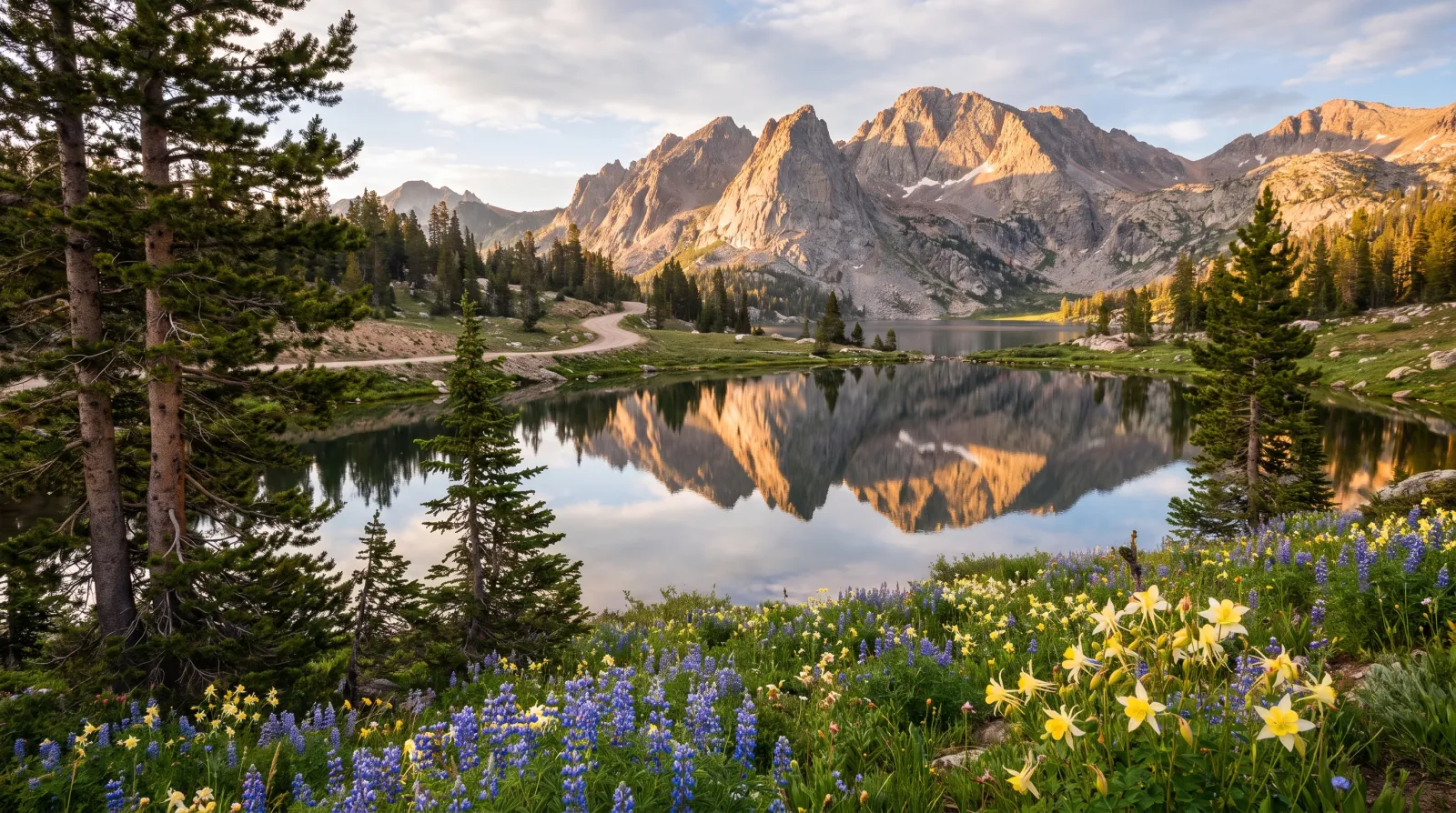
The Mirror Lake Highway: Utah's Highest Paved Escape From the Summer Heat
State Route 150 climbs out of Kamas to Bald Mountain Pass, 10,715 feet, the highest paved road in Utah. The air runs 25 to 30 degrees cooler than the valley, and it opens onto a glacier-carved basin holding more than a thousand alpine lakes.
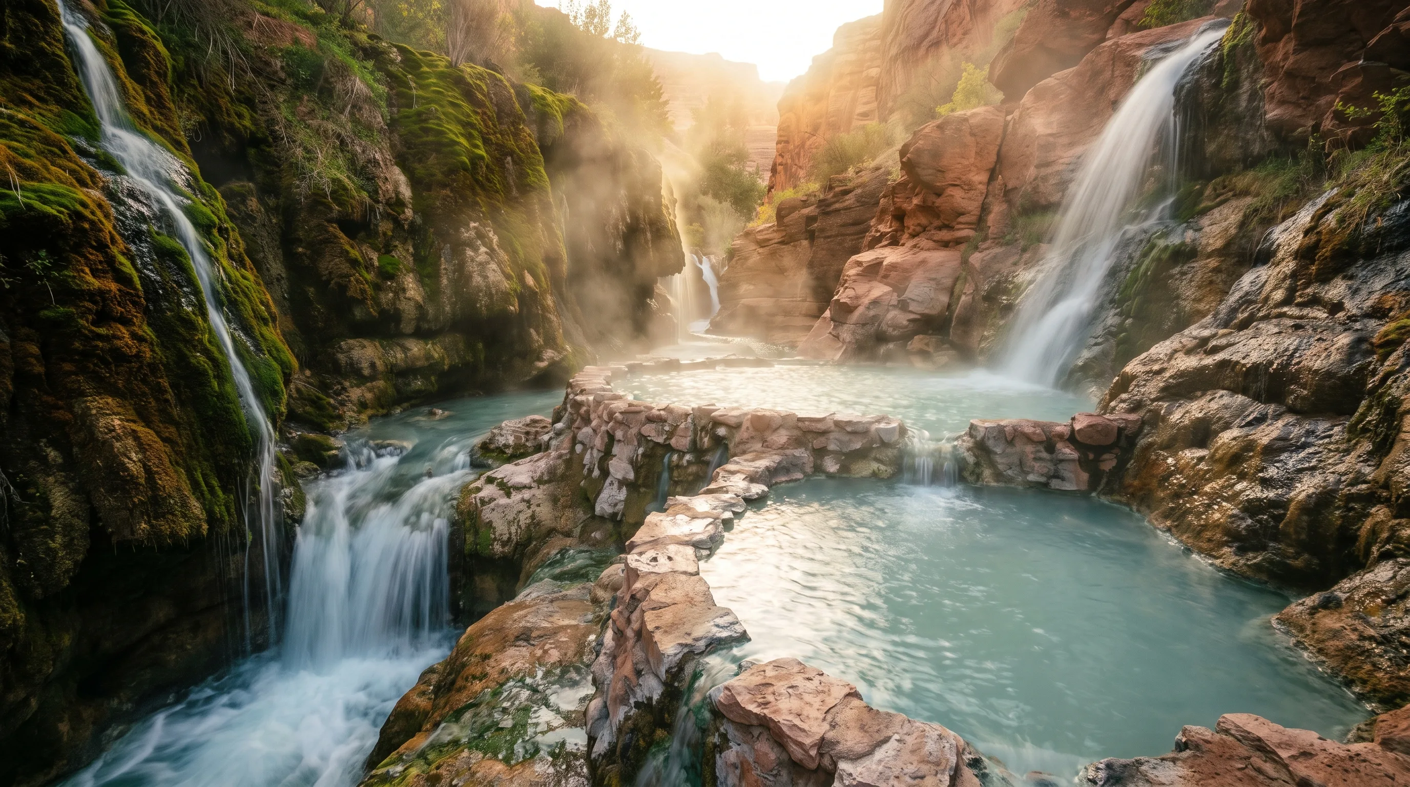
The Best Hot Springs in Utah: 6 Soaks, From a Hike-In Canyon Pool to a 65-Foot Geothermal Dome
The best hot springs in Utah are Fifth Water for the hike, Mystic in Monroe for the vintage-bathtub experience, Crystal in Honeyville for the mineral water and the kids, Homestead Crater for soaking inside a limestone dome, and Red Hill and Meadow for free, no-frills soaks.