Kolob Canyons: The Half of Zion Almost Nobody Drives To
By Utah Untamed Editorial · Published
Kolob Canyons is the northwest section of Zion National Park, reached from its own entrance off Interstate 15 at Exit 40, about 40 miles north of the main Zion Canyon. It has the same 2,000-foot red rock and is covered by the same entrance pass, but no shuttle and no timed-entry reservation. You drive the five-mile scenic road yourself. It is one of the least-visited drivable stretches of the park, which in peak summer is exactly the appeal.
Zion has two halves, and most people only ever see one. The famous one is the main canyon down in Springdale: the shuttle line, the timed-entry lottery for Angels Landing, the crowd. The other one sits 40 miles north up Interstate 15, at Exit 40, and it has the same 2,000-foot red rock, the same entrance pass, and almost none of the people. It is called Kolob Canyons, and in July, when the main canyon runs at full summer volume, it is the correction.
Here is the fact that trips people up: there is no road inside the park connecting the two. You cannot drive from the Angels Landing side over to Kolob. You leave the park, get on the freeway, and come in through a different door. That single quirk is why the great majority of visitors never see it. They fly into St. George or drive up from Las Vegas, point straight at the main entrance, and never learn the quieter half exists 40 minutes up the interstate.
What Kolob Canyons actually is
Kolob is a set of narrow, parallel box canyons cut into the western edge of the Colorado Plateau. The rock is Navajo sandstone, the same formation that builds the big walls to the south, stained deep red-orange by iron. The canyons run in tight fingers separated by blade-thin ridges, which is why people call them the finger canyons of the Kolob. The cliffs top out around 2,000 feet. And the highest point in all of Zion is here, not in the famous canyon: Horse Ranch Mountain, at 8,926 feet.
The whole section sits higher than the main canyon floor. The scenic drive alone climbs about 1,000 feet from the visitor center to the viewpoint at the end. That elevation earns its keep in summer. When Zion Canyon is baking in the high 90s, the top of the Kolob road runs measurably cooler, and the crowds thin to almost nothing.
The five-mile drive
If you have one hour, you drive the road. Kolob Canyons Road runs five miles from the visitor center to the Kolob Canyons Viewpoint, climbing the whole way, with pullouts that open onto the finger canyons as you gain elevation. It is paved, it is open to your own car, and — this is the reason to come — there is no shuttle. You drive it yourself, stop where you want, and turn around when you’re done.
At the top, the Timber Creek Overlook Trail runs about a mile round trip along a ridge. It’s short, mostly flat, and it ends at a viewpoint over Timber Creek, the Kolob Terrace, and the Pine Valley Mountains off to the west. For thirty minutes of walking, it’s one of the best view-to-effort trades in the park.
The hike that earns it: Taylor Creek
The signature day hike in Kolob is the Taylor Creek Trail, roughly five miles round trip with about 800 feet of climbing. It follows the Middle Fork of Taylor Creek up a narrowing canyon, crossing the water again and again as the walls close in. Along the way you pass two homestead cabins built in the early 1930s, still standing in the trees, and the tilted rock of the Kanarra Fold. The trail ends at the Double Arch Alcove, a huge weeping recess where two arch shapes stack in the stone above a stained, seeping wall.
It’s a half-day hike, not a summit push. In summer, go early. The creek crossings are pleasant in the morning, and the canyon holds shade longer than the exposed trails down in the main canyon.
The arch that lost a world record
Deep in the Kolob back country sits Kolob Arch, and for decades it carried a big reputation: possibly the longest natural arch on the planet. The claim ran in guidebooks and on signs for years. Then, in 2006, the Natural Arch and Bridge Society sent a survey team to actually measure it. The span came in at 287.4 feet, give or take a couple — enormous, but a hair shorter than Landscape Arch over in Arches National Park. The society’s ranking now puts Kolob sixth among the longest natural arches in the world.
So it isn’t the longest. It’s still one of the longest freestanding arches on Earth, and it’s far harder to reach than Landscape Arch, which you can see from a flat 1.6-mile stroll. Kolob Arch has no easy overlook. You get to it on a back-country trail that runs about seven miles one way, roughly fourteen round trip, most people doing it as a long day or an overnight with a wilderness permit. What you’re paying for out there isn’t a photo you can’t get anywhere else. It’s the distance, the quiet, and the fact that hardly anyone else made the walk.
When to go, and what it costs
Kolob Canyons is open year-round, and the road is at its best from roughly March through November. Your entrance pass is the standard Zion fee — $35 for a private vehicle, good for seven consecutive days — and it covers both Kolob and the main canyon, so there’s no reason to choose between them. Everyone entering here stops at the Kolob Canyons Visitor Center first to show a pass or pay. One note for 2026: the park has added a $100 surcharge for non-U.S.-resident visitors on top of the standard fee.
The best time of day in summer is early. The light on the red finger canyons is warmest in the first hours after sunrise, the temperature is lowest, and you’ll have the road closer to yourself.
The half you add
Kolob is not a swap for the main canyon’s headline hikes; it doesn’t have the Narrows or the Angels Landing chains. It’s the half you add so the trip isn’t only crowds. An hour buys you the drive and the overlook. A half-day buys you Taylor Creek and the Double Arch Alcove. Either way, you’ve seen the side of Zion that most of the four-and-a-half-million people who come every year drive right past — same park, same red rock, and a car you actually get to drive.
Frequently Asked Questions
Is Kolob Canyons worth it? add
Yes, especially in peak season. It is the same park and the same red rock as the main Zion Canyon, but with a fraction of the crowd, no shuttle, and a road you get to drive yourself. It is not a replacement for the headline hikes to the south; it is the quieter half you add so a summer Zion trip isn't only shuttle lines.
Do you need a shuttle or a reservation for Kolob Canyons? add
No. Unlike the main Zion Canyon scenic drive, which requires the park shuttle from spring through late fall, you drive the Kolob Canyons Road in your own vehicle year round. There is no timed-entry reservation for this section of the park.
How far is Kolob Canyons from the main entrance of Zion? add
Roughly 40 miles by road. There is no route inside the park connecting the two, so you travel between them on Interstate 15 and State Route 9. Kolob has its own entrance at Exit 40, about 17 miles south of Cedar City.
How long is the Kolob Canyons scenic drive? add
Five miles each way. It climbs about 1,000 feet from the visitor center to the Kolob Canyons Viewpoint at the end, with pullouts that open onto the finger canyons as you gain elevation.
How big is Kolob Arch? add
Its span was measured at 287.4 feet by the Natural Arch and Bridge Society in 2006, making it one of the longest natural arches in the world, just behind Landscape Arch in Arches National Park and sixth on the global list. It is reached by a back-country hike of about 14 miles round trip.
What is the best hike in Kolob Canyons? add
The Taylor Creek Trail, about five miles round trip with roughly 800 feet of climbing, ending at the Double Arch Alcove and passing two homestead cabins from the early 1930s along the creek. For a short walk, the one-mile Timber Creek Overlook Trail sits at the top of the scenic drive.
How much does Kolob Canyons cost? add
The standard Zion entrance fee, $35 per private vehicle for seven consecutive days, covers both Kolob Canyons and the main canyon. As of 2026 the park adds a $100 surcharge for visitors who are not U.S. residents, on top of the standard fee.
Keep Exploring
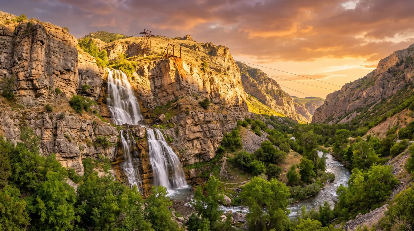
The Utah Waterfall That Used to Have a Restaurant on Top of It
Bridal Veil Falls in Provo Canyon is a 607-foot double cataract you can walk right up to on a paved trail. For 35 years, a cliffside tram climbed beside it to a restaurant and dance hall that burned, slid, and finally came down for good.
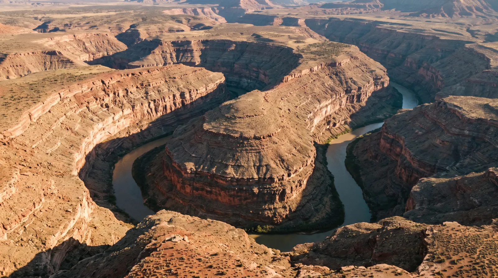
Goosenecks State Park: Where the San Juan River Goes Six Miles to Get One and a Half
At Goosenecks State Park, you stand a thousand feet above the San Juan River and watch it wind more than six miles through three stacked canyon loops just to move a mile and a half downstream — the finest entrenched meander on Earth, for five dollars a car.
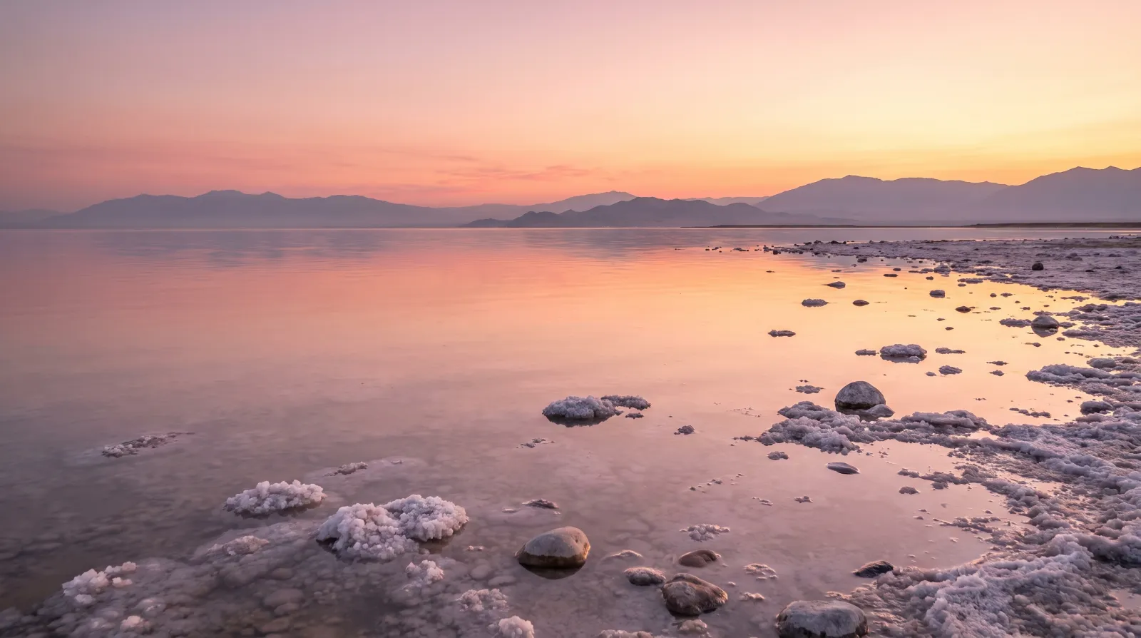
The Sea-Monkeys Were Real, and They Came From Utah
The Sea-Monkeys from the back of the comic book were brine shrimp, and the Great Salt Lake supplies close to 45% of the world's wild supply — a $60-million winter harvest that feeds fish farms from Norway to Ecuador.