The Utah Waterfall That Used to Have a Restaurant on Top of It
By Utah Untamed Editorial · Published
Bridal Veil Falls is a 607-foot double cataract in Provo Canyon, reached by a paved trail near Nunns Park. A tramway built in 1961 carried visitors more than 1,200 vertical feet to the Eagle's Nest Lodge restaurant on the rim above the falls until a 1996 avalanche destroyed its base and a 2008 arson fire destroyed the top; the remains were demolished in 2017. Utah County now holds the land under a permanent conservation easement, and a multi-year trail and parking reconstruction is underway through 2027.
Bridal Veil Falls is a 607-foot double cataract in Provo Canyon, a few steps off U.S. 189 and roughly 45 minutes south of Salt Lake City, and it is one of the easiest tall waterfalls to reach anywhere in Utah — you can stand at its base after a flat, paved walk of a couple hundred yards. What most of the people photographing it don’t know is that for about thirty-five years, there was a tramway climbing the cliff beside it to a restaurant and dance hall perched on the rim. The buildings are gone now. The story of how they got there, and how they came down, is written all over the bare rock above the water.
The falls pour off the north wall of the canyon in two stages — that’s what “double cataract” means, an upper drop that hits a shelf and a lower drop that fans out over dark rock into a mist that gives the falls their name. The flow is strongest in late spring and early summer, when the snowpack up on the Wasatch is still melting. It sits right beside one of the busiest canyon highways in the state, which is exactly why it became a resort and exactly why it became a fight worth having.
How tall is Bridal Veil Falls, really
The number you’ll see everywhere is 607 feet, and that’s the figure the falls are known by. It’s worth being precise about what that measures: the 607 feet is the full vertical run of the water down the cliff face across both cataracts, not a single unbroken plunge. A lot of that height is the water sheeting and cascading over steep rock rather than falling through open air. That’s why the falls read as a tall silver ribbon down the mountainside instead of one clean drop like you’d picture at Yosemite.
You’ll also see Bridal Veil called Utah’s tallest waterfall. Treat that one as a popular claim rather than a settled fact — Utah has other big, harder-to-measure falls in its backcountry, and “tallest” depends on how you count a cascade versus a free fall. What’s not in dispute is that it’s among the tallest waterfalls you can drive to in the state, and easily the most famous one on the Wasatch Front.
The resort era: a tram, a lodge, and a dance hall on a cliff
In 1961, someone looked at that cliff and saw a business. An aerial tramway went up beside the falls that year — a small, six-passenger Swiss-built car that climbed more than 1,200 vertical feet from the canyon floor to the top of the falls. For decades it was advertised as the world’s steepest aerial tramway. That superlative is hard to verify and you should hold it loosely, but the pitch of the thing was genuinely startling, and it was almost certainly the only tram in the country running up alongside a major highway, past a waterfall, with a river directly underneath the cable.
The tram wasn’t just a ride. It was the only way up to the Eagle’s Nest Lodge, a restaurant built on the rim by Groneman Construction, with the main lodge going up in 1967. You rode the car up the cliff, got out at the top of a 607-foot waterfall, and had dinner. By 1976 the Eagle’s Nest was running as an event center with a dance hall. Down at the bottom, the Heber Creeper tourist train chugged past the falls on its way up the canyon, so for a stretch of the 1960s and ’70s you could arrive by vintage train and leave by cliffside tram.
How it all came down
The mountain took the resort apart in pieces.
The first blow was snow. A smaller avalanche damaged the cable car in 1986, and then on New Year’s Day 1996 a massive avalanche came straight down the falls’ chute and destroyed the tramway’s base terminal, the machinery building, and the gift shop. They were never rebuilt. The tram stopped running for good.
The top held on a little longer, and then it didn’t. In July 2008, an arson fire burned the Eagle’s Nest building on the rim down to almost nothing. A month later, the Utah County Sheriff’s Office ordered the property owners to cut down the remaining cable, worried that people would try to use it to scale the cliff. In 2017 a demolition project of around a million dollars cleared out what was left of the tram and restaurant, and the mountain went quiet. An avalanche in early 2023 ran the same chute again and reshaped the greenery around the water, a reminder that the slope that took the resort is still very much alive.
Stand at the base today and look up the right side of the falls and you can still read the ghost of it — the line where the cable ran, the shelf where the lodge sat. There’s a plaque at the overlook that tells a local legend about how the falls got their “bridal veil” name, the kind of folklore that attaches itself to a place like this. The real reason is plainer: the lower cataract fans out into a thin, drifting mist that looks like lace.
The development fight that made it public
When the resort era ended, the question became who would own the falls and what they’d be allowed to do there. Utah County bought five parcels of land around Bridal Veil Falls in 2015 for $2.4 million, which put the base of the falls in public hands. Then in 2019 a developer proposed buying the parcels to build a recovery lodge on top of the falls, with a new tram floating over the Provo River to reach it — a plan to bring the cliff-top building and the tramway back.
The reaction from residents and the neighboring cities was loud and one-directional. In December 2020, after a marathon public meeting, the Utah County Commission voted against the development and instead placed a conservation easement on the property through the nonprofit Utah Open Lands. That easement is the important part: it bars business development at the falls permanently. The cliff that once held a restaurant is now legally off-limits to the next one.
From there the state got involved. Utah lawmakers set aside $1.2 million for a feasibility study on making Bridal Veil Falls a state park or state monument, and a 2022 legislative resolution pushed the idea forward. The falls remain protected by the easement and still under discussion for a formal monument designation, but the outcome that matters is already settled: nobody is building on top of Bridal Veil Falls again.
What it’s like to visit — and the two things you need to know first
For most of the year, Bridal Veil is about as low-effort as a tall waterfall gets. It sits on the Provo River Parkway, a paved trail that runs the canyon floor, so you can reach the viewing area in a wheelchair or a stroller. The usual move is to park at or near Nunns Park, which has restrooms, drinking water, and picnic tables, and walk the paved path to the bridge below the falls. In winter the whole face freezes into one of Utah’s best-known ice-climbing walls, with routes like the “Stairway to Heaven” seep drawing climbers from December through February.
Two things change the calculus right now, and you should know both before you drive up.
First, the construction. In September 2025 Utah County began a roughly $7 million reconstruction of the trail and parking at the falls, a two-year project running in phases into 2027. Access and parking are modified during the work. Before you go, check the Utah County site or Provo Canyon trail updates for the current parking and trail status, because it is not the normal setup and it will keep changing as the phases progress.
Second, the danger, and this is the part the postcards leave out. The rock beside and above Bridal Veil Falls is steep, wet, and deceptively deadly. People have died here climbing on the falls, and the county has flagged it for years as one of the more dangerous spots in the canyon. The base is safe and easy. Everything above it is not. The wet rock is slick even in summer, and in fall the rapid temperature swings glaze it with thin, nearly invisible ice. The falls reward you for standing at the bottom and looking up. They punish people for trying to climb. Walk the paved trail, get your photo from the bridge, and leave the cliff to the ice climbers who show up in January with ropes and screws.
Frequently Asked Questions
How tall is Bridal Veil Falls? add
It's a 607-foot double cataract, meaning the water drops in two connected stages down the north wall of Provo Canyon. Much of that height is steep cascade over rock rather than a single free fall.
Where is Bridal Veil Falls? add
In Provo Canyon, right off U.S. 189 between Orem and Heber City, about 45 minutes south of Salt Lake City and 15 minutes from Provo, on the Provo River Parkway trail near Nunns Park.
Was there really a tram and a restaurant? add
Yes. A six-passenger aerial tramway built in 1961 carried visitors more than 1,200 vertical feet up the cliff to the Eagle's Nest Lodge and restaurant on the rim above the falls. A 1996 avalanche destroyed the base and a 2008 arson fire destroyed the top. The remains were demolished in 2017.
Can you visit Bridal Veil Falls right now? add
Yes, but a two-year, roughly $7 million trail and parking reconstruction that began in September 2025 has access modified into 2027. Check current parking and trail status with Utah County before you go.
Is Bridal Veil Falls safe? add
The paved trail and the viewing area at the base are easy and family-friendly. Climbing on or above the falls is not — the wet rock is dangerously slick, people have died there, and fall brings hidden ice. Stay on the trail.
When is the best time to see it flow? add
Late spring through early summer, when the Wasatch snowpack is melting, gives the strongest flow. Winter turns the whole face into a well-known ice-climbing wall.
Keep Exploring
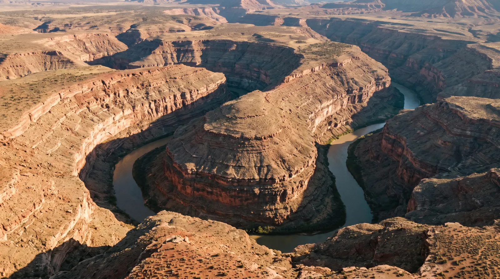
Goosenecks State Park: Where the San Juan River Goes Six Miles to Get One and a Half
At Goosenecks State Park, you stand a thousand feet above the San Juan River and watch it wind more than six miles through three stacked canyon loops just to move a mile and a half downstream — the finest entrenched meander on Earth, for five dollars a car.
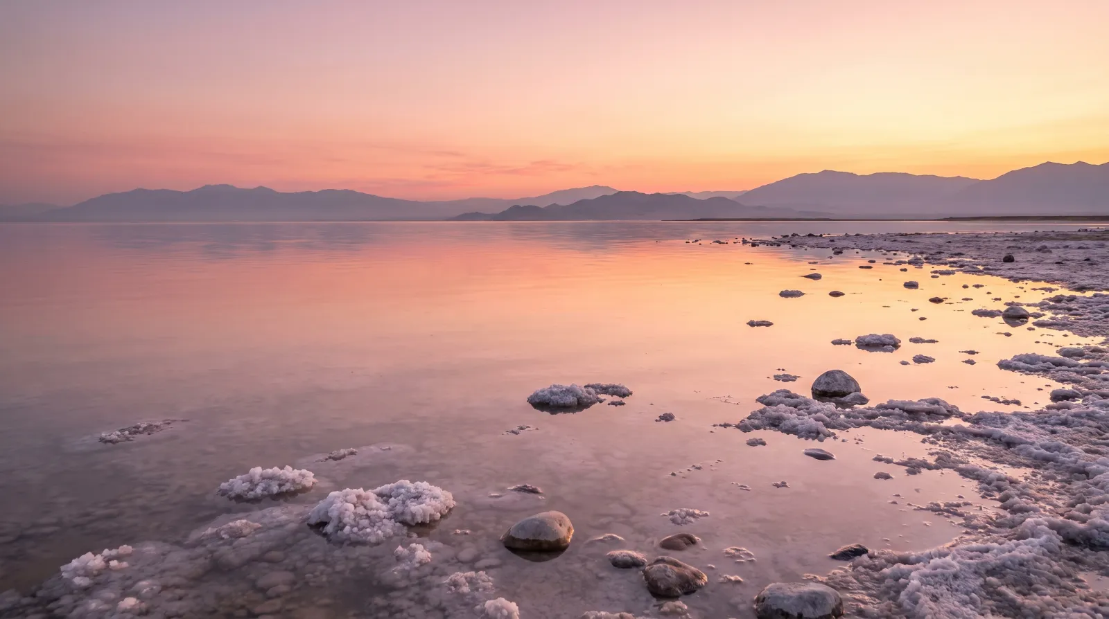
The Sea-Monkeys Were Real, and They Came From Utah
The Sea-Monkeys from the back of the comic book were brine shrimp, and the Great Salt Lake supplies close to 45% of the world's wild supply — a $60-million winter harvest that feeds fish farms from Norway to Ecuador.
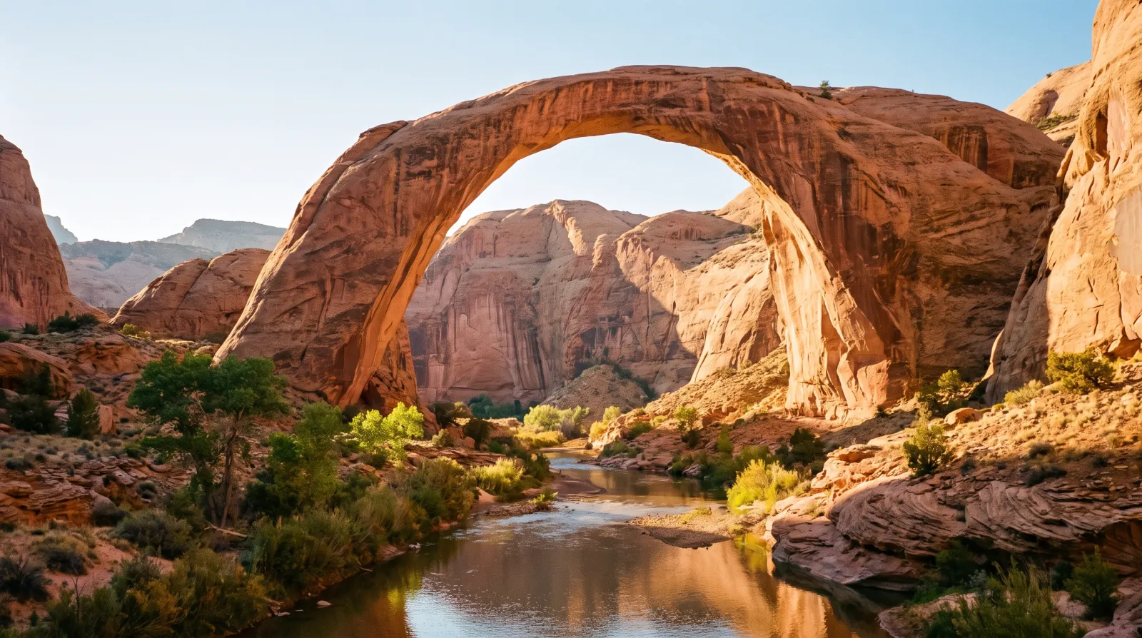
Rainbow Bridge: The Largest Natural Bridge on Earth Is in Utah, and the Lake That Floats You There Is Backing Away
Rainbow Bridge rises 290 feet over a desert creek at the foot of Navajo Mountain, sacred to six Native nations and once reachable only by a multi-day pack trip. Lake Powell made it a boat ride — and now the lake is pulling back.