Bryce Canyon's Hoodoos Are Carved by Ice — and There Are More Here Than Anywhere on Earth
By Utah Untamed Editorial · Published
Bryce Canyon National Park holds the largest concentration of hoodoos on Earth, carved by frost wedging in the soft Claron limestone rather than a river — Bryce is not technically a canyon at all, but a series of natural amphitheaters on the edge of the Paunsaugunt Plateau. The rim sits at 8,000 to 9,000 feet and crosses the freezing point more than 200 times a year, and each cycle widens cracks until fins, windows, and finally freestanding spires remain. The park estimates the formations erode roughly 1 to 4 feet per century.
Bryce Canyon’s hoodoos are formed by frost wedging: water seeps into cracks in the rock, freezes overnight, expands, and slowly pries the stone apart — and because the rim sits high enough to freeze and thaw more than 200 times a year, it happens here faster and more relentlessly than almost anywhere in the country. That is the whole secret behind the strangest skyline in Utah. The thousands of stone spires standing shoulder to shoulder in Bryce’s amphitheaters weren’t blasted out by a river or a wind. They were carved, one freeze at a time, by water turning to ice.
Bryce Canyon National Park holds the largest concentration of hoodoos on the planet. Not the tallest single spire, not the deepest canyon — the densest crowd of them anywhere on Earth. And the reason has almost nothing to do with the desert everyone pictures when they think of southern Utah.
First, a correction: Bryce Canyon is not a canyon
A canyon is cut by a river running through it. Bryce has no such river. What you’re standing on the edge of is the rim of the Paunsaugunt Plateau, and what drops away below you is a series of natural amphitheaters — horseshoe-shaped bowls eaten backward into the plateau’s pink cliffs. The largest, Bryce Amphitheater, is the one most people photograph from Sunset and Sunrise points.
The rock itself is the Claron Formation, a soft, pale limestone laid down in lakes and streams roughly 40 to 50 million years ago. Iron and manganese in that rock are what paint the hoodoos in the reds, oranges, and creamy whites that make the place look lit from inside at dawn. Soft rock is the first ingredient. The second is cold.
How a hoodoo is actually made
Start with a cliff wall. Water and ice widen the vertical cracks in that wall until it’s split into thin, freestanding blades of rock called fins. Keep going, and windows open through the fins — holes punched clean through the stone. Eventually the top of a window collapses, and what’s left standing on either side is a column: a hoodoo.
The engine driving all of it is frost wedging, and it runs on a simple, brutal cycle. Meltwater or rain slips into a crack during the warm part of the day. Overnight the temperature drops below freezing and that water turns to ice, expanding by nearly 10 percent as it does. Ice takes up more room than the water did, so it shoulders the crack wider. The next day it thaws, the water sinks deeper, and that night it freezes again. Widen, deepen, repeat.
Here’s the number that makes Bryce, Bryce: the rim sits between roughly 8,000 and 9,000 feet, high enough that it crosses the freezing line more than 200 times a year — more freeze-thaw cycles than almost any other place in the United States. Two hundred separate opportunities, every year, for ice to jack the rock apart a little further. Multiply that across the soft Claron limestone and the whole amphitheater, and you get thousands of spires instead of a handful. Bryce doesn’t have more hoodoos because it’s older or drier than everywhere else. It has more because it freezes more.
The rest is water doing its ordinary work. Summer rain and snowmelt carry the loosened grit away, rounding the columns and sharpening the gaps between them. The park’s rangers put a rough clock on it: the formations wear down about 1 to 4 feet every century. The hoodoos you see today are not permanent. They’re a frame grabbed out of a very slow movie — old fins finishing their collapse, new ones just starting to separate from the cliff. Stand at the rim long enough over a lifetime and the skyline literally changes.
The Paiute story: the Legend People turned to stone
Long before geologists named the process, the Southern Paiute had their own account of what the spires are, and it’s worth telling on its own terms — as story, not science.
In the Paiute telling, this country was once home to the To-when-an-ung-wa, the Legend People — beings who lived too heavily on the land. They drank the streams dry in spring and left nothing for the other creatures through summer; they ate up the pine nuts in the fall and left nothing for winter. The other animals finally appealed to Sinawava, the Coyote, a powerful spirit. Coyote laid on a great feast and invited the Legend People, and as they sat down to eat, he began turning his guests to stone, exactly as they were — some standing, some sitting, faces still painted. One Paiute elder gave the hoodoos the name Anka-ku-was-a-wits: “red painted faces.” Look across the amphitheater at dawn, when the low sun sets the whole crowd of spires glowing, and it’s not hard to see why the story stuck.
That’s folklore, held apart from the geology on purpose. The frost does the carving. But the legend is the older answer to the same question everyone still asks at the rim: what are all these, and why do they look like they’re watching you.
A Scottish shipbuilder and a lost cow
The name is younger and plainer than the rock. In the late 1870s a Latter-day Saint pioneer named Ebenezer Bryce — a Scottish-born shipbuilder who’d traded shipyards for the Utah desert and put his carpentry into churches and a seven-mile irrigation canal instead — settled with his family in the Paria Valley just east of today’s park. He ran cattle up against the base of the amphitheaters. The line that outlived him is the one every ranger repeats: he is said to have called the maze of spires behind his ranch “a helluva place to lose a cow.” His neighbors started calling it Bryce’s Canyon, and the shorthand stuck to the whole plateau. A man who built ships gave his name to a place with no water to sail on.
Why summer is the right time to go — and the catch
At these elevations Bryce runs cool when the rest of southern Utah is baking. Summer highs at the rim sit in the low-to-mid 80s with nights dropping into the 40s and 50s — routinely 20 or more degrees cooler than St. George or the valleys along I-15. That alone makes it one of the better midsummer plays in the state: a place where you can hike down among the hoodoos in the morning without the pavement-oven heat of the red-rock parks farther south.
The catch is the sky. Mid-to-late summer is monsoon season on the plateau, and afternoon thunderstorms build fast most days. Lightning at 8,000 feet is not a minor thing, and the trails below the rim have almost no cover. Hike early, be up top by early afternoon, and watch the clouds. The UV up here is extreme even when the air feels mild — the thin, high-elevation atmosphere means you burn faster than the temperature suggests.
For a first visit, the move rangers point people to is the Navajo Loop and Queen’s Garden trails run together as a single loop of just under three miles. You start at Sunset Point, switchback down through the slot called Wall Street, wind through the spires on the amphitheater floor, and climb back out at Sunrise Point. It’s the shortest way to go from looking at the hoodoos to standing in the middle of them. Right below Sunset Point you’ll pass the park’s most photographed spire, Thor’s Hammer — a slab of harder rock balanced on a slimmer neck, a hoodoo caught in the exact middle of its own slow unmaking.
And if you can stay after dark, do. Bryce is one of the darkest places left in the country. On a clear, moonless night the sky over the amphitheater carries something like 7,500 visible stars, against the roughly 2,500 you’d catch from a suburban backyard. The same thin, high, dry air that freezes the rock 200 times a year also strips the haze out of the sky. The hoodoos were built by cold and water. The best time to feel how strange the place is comes after the sun that lit them red goes down.
Frequently Asked Questions
How are the hoodoos at Bryce Canyon formed? add
By frost wedging. Water seeps into cracks in the soft Claron limestone, freezes overnight and expands about 10 percent, and pries the rock apart. Over thousands of freeze-thaw cycles, cliff walls become thin fins, fins develop windows, and collapsed windows leave the freestanding spires called hoodoos.
Why does Bryce Canyon have more hoodoos than anywhere else? add
Elevation. The rim sits around 8,000 to 9,000 feet and crosses the freezing point more than 200 times a year — more freeze-thaw cycles than almost anywhere in the U.S. More freezing means more frost wedging, and that plus the soft, easily carved limestone produces the densest field of hoodoos on Earth.
Is Bryce Canyon actually a canyon? add
No. It's a series of natural amphitheaters eroded into the edge of the Paunsaugunt Plateau. A true canyon is cut by a river; Bryce has none.
How did Bryce Canyon get its name? add
From Ebenezer Bryce, a Scottish-born pioneer rancher who settled the Paria Valley below the amphitheaters in the late 1870s and reportedly called the place "a helluva place to lose a cow." Neighbors called it Bryce's Canyon and the name stuck.
Keep Exploring
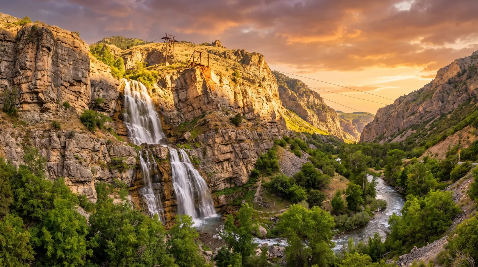
The Utah Waterfall That Used to Have a Restaurant on Top of It
Bridal Veil Falls in Provo Canyon is a 607-foot double cataract you can walk right up to on a paved trail. For 35 years, a cliffside tram climbed beside it to a restaurant and dance hall that burned, slid, and finally came down for good.
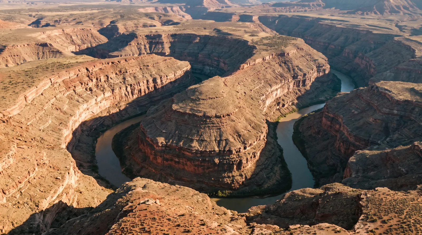
Goosenecks State Park: Where the San Juan River Goes Six Miles to Get One and a Half
At Goosenecks State Park, you stand a thousand feet above the San Juan River and watch it wind more than six miles through three stacked canyon loops just to move a mile and a half downstream — the finest entrenched meander on Earth, for five dollars a car.
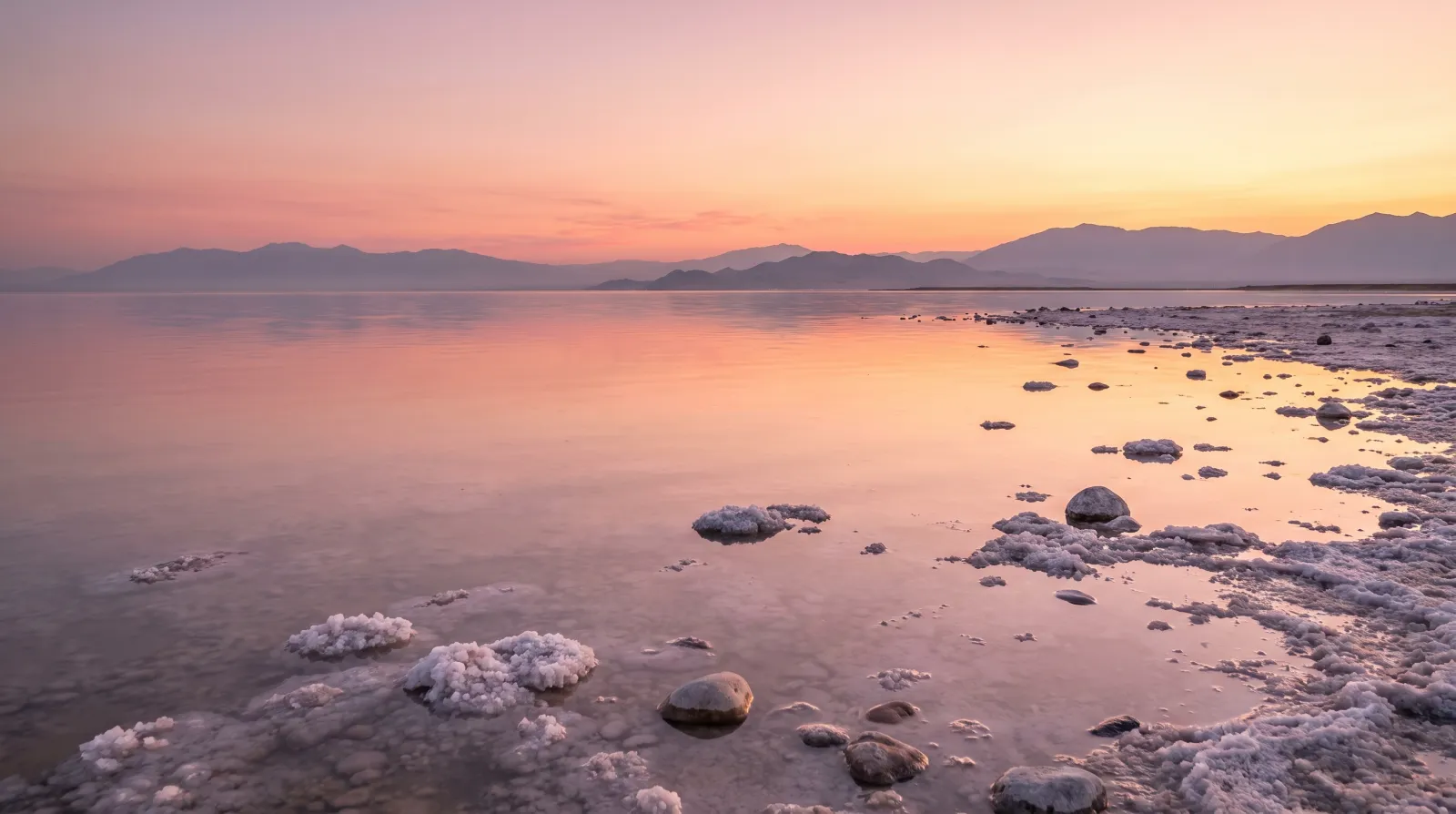
The Sea-Monkeys Were Real, and They Came From Utah
The Sea-Monkeys from the back of the comic book were brine shrimp, and the Great Salt Lake supplies close to 45% of the world's wild supply — a $60-million winter harvest that feeds fish farms from Norway to Ecuador.