The Utah Town That Drowned in Three Days: What Happened at Thistle
By Utah Untamed Editorial · Published
Thistle, Utah was destroyed in April 1983 when a slow-moving landslide dammed the Spanish Fork River and flooded the town under a lake up to 160 feet deep. It remains the most expensive landslide in U.S. history and triggered Utah's first presidential disaster declaration. Every resident evacuated safely, and the ruins are still visible today from a highway pullout on U.S. 6/89 southeast of Spanish Fork.
Thistle, Utah was a small railroad town in Spanish Fork Canyon that was destroyed in April 1983 when a slow landslide dammed the Spanish Fork River and flooded the town under 160 feet of water — the most expensive landslide in U.S. history, and the reason for Utah’s first presidential disaster declaration. Every resident got out alive. The town never came back. Drive U.S. 6/89 southeast of Spanish Fork today and you pass the ruins without a sign that a community of hundreds once stood there.
Here is the strange part. Thistle is called a ghost town, but it isn’t a place people abandoned. It’s a place the earth swallowed while the people watched. And the hillside that did it is still moving.
A junction town, built by the railroad
Thistle sat where three roads and two rail lines came together, about 60 miles south of Salt Lake City. U.S. Highway 89 and U.S. Highway 6 converged there. So did the Denver & Rio Grande Western main line — the route that carried freight and passengers between Denver and Salt Lake City — and a branch line that ran south toward Marysvale.
That junction is the whole reason a town existed. Few corridors through the central Utah mountains offer the gentle grade a railroad needs, and Spanish Fork Canyon does. There’s an irony buried in that geography: the canyon is easy to build a railroad through precisely because landslides carved it into gentle terrain over thousands of years. The railroad came for the soft ground. The soft ground eventually took the railroad back.
Thistle peaked early. Around 600 people lived there in 1917, back when the town had a depot, a roundhouse, water and coal for the locomotives, a schoolhouse, stores, a post office, and a saloon. Then the reasons for it thinned out. Diesel engines didn’t need the coal-and-water stops that steam did. The depot came down in 1972. The post office closed in 1974. By March 1983, Thistle was down to roughly 50 people in about a dozen occupied houses — a quiet, fading rail stop, and nothing about it suggested it had two months left.
The winter that set the trap
The disaster started with weather, not with the mountain. In September 1982, the wettest month ever recorded at the Salt Lake City airport soaked the ground before winter even arrived. Then came a deep snowpack that didn’t melt on schedule. Cold nights ran late into April and May 1983, so the snow held, and northern Utah’s May snowpack averaged two to three times normal. When the temperatures finally jumped, all of it came off at once.
Water is what moves a landslide. It seeps into the ground, adds weight, and turns the seam between a slope and the bedrock beneath it into something slick. Geologists knew the setup was dangerous — the National Weather Service had briefed state and federal officials, and two large landslides earlier that spring had already put experts on alert. The Denver & Rio Grande’s own geotechnical team had been watching the Thistle area since January and visited the site on April 12. Even then, when the ground first started to shift a day later, nobody read it as a catastrophe.
Three days in April
The signs were small at first, then they weren’t. On Wednesday, April 13, the railroad tracks slid out of alignment. By Friday, April 15, the highway had buckled, cracked, and closed. A tongue of earth roughly 1,000 feet wide, nearly 200 feet thick, and more than a mile long was creeping down the canyon at up to three and a half feet an hour — slow enough to watch, far too big to stop.
It piled up against a sandstone buttress at the base of Billies Mountain and jammed the canyon shut. The floor of the valley rose about a foot every hour. With the Spanish Fork River blocked, the water had nowhere to go, and a new lake began to fill behind the natural dam.
Crews from the railroad and the Utah Department of Transportation tried to keep the river moving — cutting down through the toe of the slide, siphoning the rising water. On Sunday, April 17, all of it failed. That was the day Thistle’s remaining residents were told to leave, and they had only a few hours to do it. Most walked away from nearly everything they owned. By then the water was climbing toward the rooftops.
A 220-foot dam, and a lake called Thistle
What the slide left behind was a wall of earth 220 feet high. Behind it, “Thistle Lake” rose until it was 160 feet deep, deep enough to put the old red schoolhouse — built around 1893 — underwater to its roofline. In the five months the lake existed, more than 15 feet of sediment settled onto the buried town in places. Roofs floated off houses and drifted to the new shoreline.
The response was one of the fastest large-scale engineering jobs the state has ever run. Rather than fight the slide, the plan was to make it permanent: shape the debris into a stable dam, then bore tunnels through solid rock to carry the river past it and to drain the lake before it overtopped. Workers moved 500,000 cubic yards of earth off the middle of the still-creeping slide and packed it onto the toe, both to strengthen the dam and to build a platform to drill from. The Army Corps of Engineers rigged pumps to keep the lake from rising too high while the tunnels went in.
They beat the water. Trains rolled through a brand-new tunnel bored through Billies Mountain on July 4, 1983 — 81 days after the project began, and 11 days ahead of the contracted deadline. The river got a permanent bypass. The highway was harder; UDOT rerouted it up and over the mountain, and it opened at the end of the year but kept closing for rockfalls and unstable slopes.
What it cost
The dollar figures are why Thistle still holds a record. Direct damage topped $200 million in 1983 dollars, making it the most expensive landslide in U.S. history and earning Utah its first-ever presidential disaster declaration.
The breakdown tells the story of a junction town’s importance. Relocating the railroad ran about $45 million. Relocating the highway cost roughly $75 million. The railroad lost close to $1 million a day while its main line sat buried — around $80 million all told, including $19 million it had to pay a competitor, the Union Pacific, just to borrow their tracks. Capital losses came to $48 million, revenue losses to $87 million.
The damage rippled outward. Coal was the region’s lifeblood, and with the rail junction gone, a $10-per-ton rerouting surcharge nearly stopped shipments cold. Mines laid off workers. Some miners’ commutes suddenly ran past 100 miles. Utah coal production fell almost 30 percent that year. The Marysvale branch line, cut at Thistle, was never reopened, and a big piece of central Utah lost its rail service for good.
A ghost town that’s still on the move
Most ghost towns are a story about people leaving. Thistle is a story about the ground itself. And the ground isn’t finished.
Landslides in Spanish Fork Canyon are not new — the exact spot that let go in 1983 has moved repeatedly across prehistoric and historic time, sliding along a buried, trough-shaped paleovalley in the older North Horn and Ankareh rock formations. After another wet winter, nearly the whole 1983 slide moved again in the spring of 1998, and that reactivation enlarged the head of the slide by an area the size of several football fields. The mountain that took Thistle is doing, slowly, exactly what it has always done.
Can you still visit Thistle?
Yes, and it’s one of the easier ruins in the state to reach. From I-15 at Spanish Fork, take exit 261 and head east on U.S. 6/89. About 12.7 miles in, a large pullout sits just before a massive double road cut; it has an overlook of the landslide and interpretive signs. Roughly a mile and a half past that, turn onto U.S. 89 and go about a mile and a half more to reach what’s left of Thistle itself, where more signage explains what you’re looking at.
What you’ll see are a few gutted, sediment-stained houses and the crumbling shell of the old red schoolhouse, standing in the flat where the lake used to be. There’s no gate and no ghost. There’s a river running quietly through a tunnel that a few hundred people dug in eleven weeks, past the outline of a town that a wet spring erased in three days.
Frequently Asked Questions
What happened to Thistle, Utah? add
In April 1983, a slow-moving landslide dammed the Spanish Fork River and flooded the town under a lake up to 160 feet deep. Thistle was destroyed and never rebuilt.
Did anyone die in the Thistle landslide? add
No. The slide moved slowly — a few feet per hour — and every resident was evacuated. There were no deaths.
Why is Thistle called the most expensive landslide in U.S. history? add
Direct damage exceeded $200 million in 1983 dollars, largely because the slide buried a major rail junction and two U.S. highways. It prompted Utah's first presidential disaster declaration.
How big was the Thistle landslide? add
Roughly 1,000 feet wide, nearly 200 feet thick, and more than a mile long. It formed a natural dam 220 feet high against Billies Mountain.
Can you visit Thistle today? add
Yes. The ruins are visible from U.S. 6/89 southeast of Spanish Fork, with a highway pullout, interpretive signs, and the remains of the old schoolhouse and a few flooded houses.
Is the Thistle landslide still moving? add
Yes, intermittently. The same slope has slid repeatedly over geologic time and reactivated in 1998, enlarging the head of the slide.
Keep Exploring
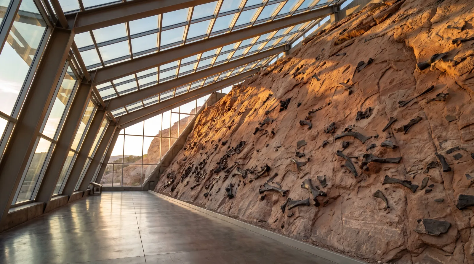
The Wall of Bones: Utah's Quarry Where 1,500 Dinosaurs Are Still in the Rock
Near Jensen, a two-story cliff face inside the Quarry Exhibit Hall holds roughly 1,500 dinosaur bones still locked in 150-million-year-old rock — and at one marked spot, you're allowed to touch one.
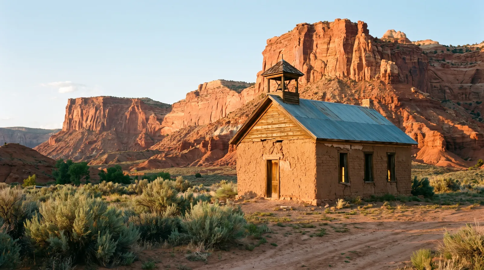
Grafton, Utah: The Ghost Town Below Zion That Refused to Stay Buried
Grafton is a preserved pioneer ghost town on the Virgin River, two miles off the road most Zion visitors never leave. Often called the most photographed ghost town in the West, it's also the unnamed backdrop of Butch Cassidy and the Sundance Kid.

The Alphabet Utah Invented to Replace English
In 1854, Utah's territorial leaders adopted a 38-character phonetic alphabet meant to replace standard English spelling. They printed schoolbooks and a full Book of Mormon in it before the whole project quietly died.